Jeffrey's Ledge

Jeffrey's Ledge
About this Location
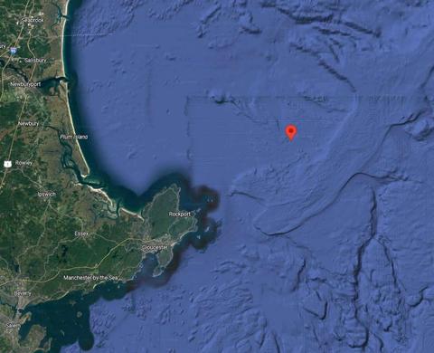
Jeffreys Ledge, a large glacial remnant, is located ~35 km off the New Hampshire coast. It is a long (60 km), linear bank extending from Cape Ann, Massachusetts to Cape Elizabeth, Maine. Typical of glaciated features, the shallower regions of Jeffreys Ledge (~50-75 m) are composed of coarse sediments (mostly gravels with numerous cobble and boulder fields). Adjacent to Jeffreys Ledge are muddy basins that are over 200 meters in depth.
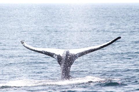
Historically, Jeffreys Ledge has been an important fishing ground of the Gulf of Maine with high yields of cod, haddock, hake, and flounder. However, in 1998, the Western Gulf Of Maine Closure Area was established by New England Fisheries Management Council, closing a large area of Jeffreys Ledge to ground fishing in hopes of restoring stocks.
In 2002, the University of New Hampshire initiated an interdisciplinary study of Jeffreys Ledge in order to better understand the physical and biological processes influencing this important ecosystem and to evaluate the effects of the closure.
Last updated July 29, 2023