San Luis Obispo, California, US
Montana de Oro SP (use a more specific hotspot when possible)
262 species
San Luis Obispo, California, US
262 species
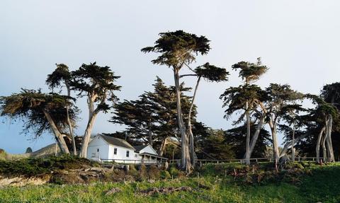
Los Osos, California 93402
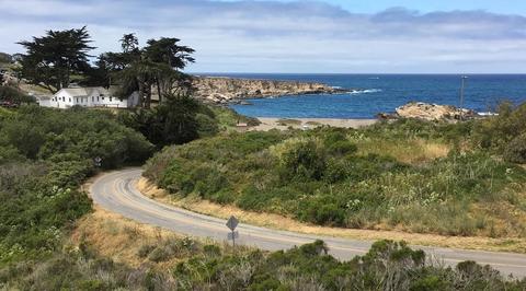
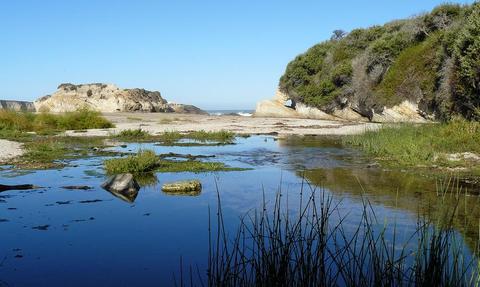
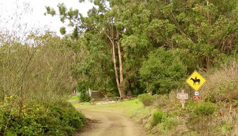
Official WebsiteBird the willows and pines at Islay Creek Campground, and the willows at the mouth of Islay Creek in Spooner's Cove. These are two very good birding spots during fall migration, and each has a number of recorded rarities. Lower Hazard Canyon and the tide pools at end of the trail is another popular birding spot. Walk the Bluff Trail to bird the coves and for spotting offshore species.
Gulls, terns, cormorants, alcids, rock pipers, and shearwaters. Migrant passerines during fall.
Montana de Oro State park is located six miles southwest of Morro Bay and two miles south of Los Osos. The entrance is on Pecho Valley Road. Montana de Oro (Spanish for “Mountain of Gold”) is one of the largest California state parks at 8,000 acres with 7 miles of coastline. Park hours are 6:00 AM to 10:00 PM.
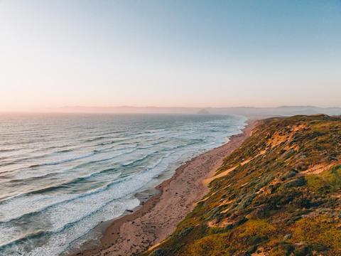
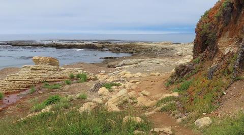
This park features rugged cliffs, miles of clean, sandy beaches, coastal plains, streams, canyons, and hills. The highest point in Montana de Oro is the 1,347’ Valencia Peak. You can explore the tide pools, watch for birds, look for plants and wildflowers, or go surf fishing.
Islay Creek Campground is a primitive campground in the canyon behind the Spooner Ranch House. You can find camping and park information in the old Spooner Ranch House Visitor Center, located just above Spooner’s Cove. The campground offers 47 campsites for tents, trailers, or motorhomes. There are picnic tables available at Spooner’s Cove. Docent-led walks are also given year-round. The interpretive garden south of the Ranch House identifies many of the park’s plants.
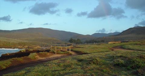
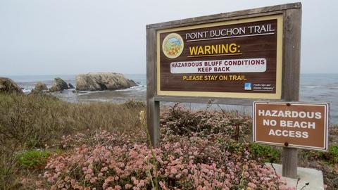
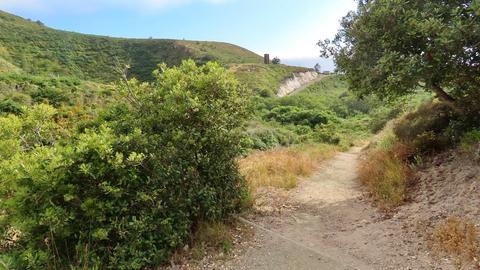
The park has many hiking, mountain biking, and equestrian trails. Popular hiking trails include Coon Creek Trail, Hazard Canyon, Islay Creek Road, Grand Dune Trail, and the West Rim Trail. The Bluff Trail above Spooner’s Cove takes you along the edge of the scenic coastal cliffs with dramatic views below into Corallina Cove and Quarry Cove. The trailhead to Point Buchon is located at the end of Pecho Valley Road.
Restrooms on site
Content from Official Website
 Montana de Oro State Park Hiking Trails