High Bridge Trail State Park

High Bridge Trail State Park
Farmville, Virginia 23901 High Bridge Trail State Park traverses Cumberland, Nottoway and Prince Edward Counties and the towns of Burkeville, Farmville, Pamplin City, Prospect and Rice.
High Bridge Trail SP trail map (Virginia State Parks)High Bridge Trail SP webpage (Virginia State Parks)
About this Location
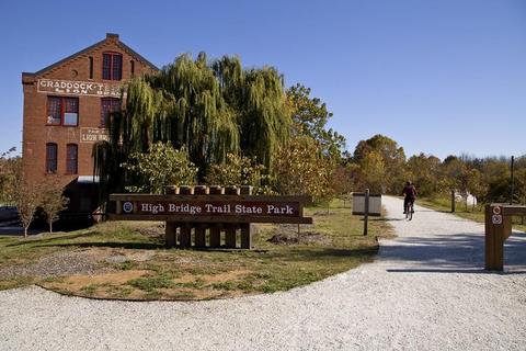
High Bridge Trail is 31 miles long and ideally suited for hiking, bicycling, and horseback riding. Once a rail bed, the trail is wide, level, and generally flat. Its finely crushed limestone surface and dimensions make it easy to enjoy. The park’s centerpiece is the majestic High Bridge, which is more than 2,400 feet long and 125 feet above the Appomattox River.
Notable Trails
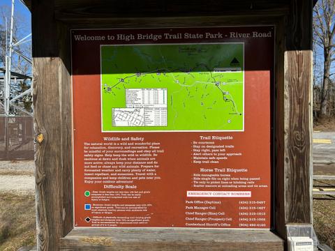
The trail map linked above shows the full length of the High Bridge trail but inset below are the trails at Camp Paradise and the Rochelle Tract. The Camp Paradise Trail takes you off the rail trail and down to the Appomattox River beneath the span of the High Bridge. The Rochelle Tract is a newer addition to the park and has areas of abandoned farmland interspersed with mature forest.
Features
Restrooms on site
 Bird's eye view of High Bridge
Virginia State Parks Flickr