Salton Sea

About this Location
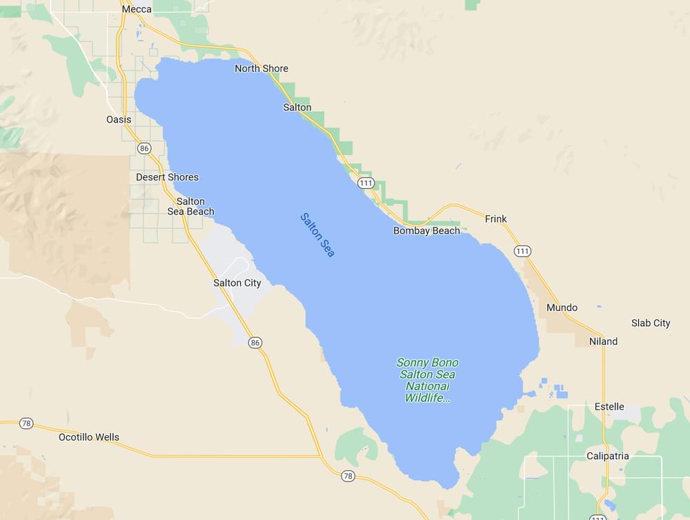
The Salton Sea is a shallow, saline lake located in the California desert. Both the Salton Sea State Recreation Area and the Sonny Bono Salton Sea National Wildlife Refuge are located on its shores.
The Salton Sea occupies the Salton Basin, a remnant of prehistoric Lake Cahuilla. It is bordered on the south by the rich agricultural areas of the Imperial Valley, on the west, by Anza-Borrego Desert State Park, and on the north by the Coachella Valley. The San Andreas fault begins here, near Bombay Beach, before progressing 800 miles to the north. Research in 2016 revealed another fault underneath the sea, termed the Salton Trough fault, running parallel to the San Andreas fault. The geologic character of the area has created numerous mud pots and mud volcanoes locally.
The Salton Sea was formed between 1905 and 1907 when the Colorado River burst through poorly built irrigation controls south of Yuma, Arizona. Almost the entire flow of the river filled the Salton Basin for more than a year, inundating communities, farms, and the main line of the Southern Pacific Railroad.
Continued filling of the Salton Sink was finally halted in 1907 when a line of protective levees was built by boxcars dumping boulders into the breach from Southern Pacific tracks. By then, this inland lake was about 40 miles long and 13 miles wide, covering an area of about 400 square miles.
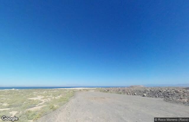
The Salton Sea is currently 35 miles by 15 miles and can be as large as 40 miles by almost 20 miles in particularly wet years. It has an average depth of 29.9 feet and, at its deepest, is 51 feet. It contains 7.3 million acre-feet of water and evaporates 1.3 million acre-feet each year. There is a five-mile-long trench on the south end of the Sea that is 51 feet deep. The Sea is currently 228 feet below sea level. Interestingly, the bed of the Salton Sea is only five feet higher than the lowest spot in Death Valley.
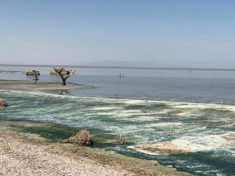
After the initial fill of the Salton Sea, its water level was supported by irrigation runoff as farming in Imperial County took hold. The agricultural runoff that sustained the lake contained not only fertilizer and pesticides but high quantities of salt. Over the years, the salinity rose enough to kill off most of the lake’s fish species, even the saltwater fish. Its salinity measures slightly higher than that of the Pacific Ocean. The current salt level of the Sea is in the area of 43 to 45 TH PPM. The Pacific Ocean is about 34.9 TH PPM. As the concentrated salt level of the Sea increases to over 44 TH PPM., it is expected that all the fish, except the tilapia, will cease to reproduce. Tilapia, an African freshwater fish originally introduced into the canal system to control algae growth, can survive up to 60 TH PPM.
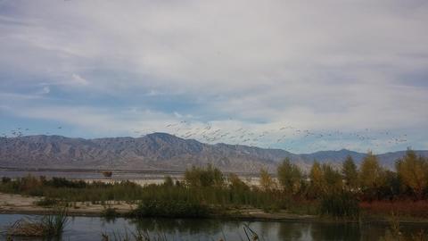
The Salton Sea is so flat and shallow that a vertical foot of drop can expose thousands of feet of the dry lake bed. As the playa is exposed, it dries quickly in the desert heat and sun. The winds kick up the dust, creating a serious air pollution problem. The flow of water into the lake is now greatly reduced, causing salinity to spike; eventually, even the hardy tilapia fish will die off, the birds that feed on them will either migrate or die off themselves, and the dust will only get worse.
The nonprofit Pacific Institute estimates that without intervention, the surface area of the 350-square-mile lake will shrink 100 square miles by 2030, the salinity will triple over 15 years, and the fish will disappear in seven years. San Diego's water purchases from Imperial Valley are to blame, but low rainfall and water conservation also hurt.
Content from Official Website
 © Google Maps