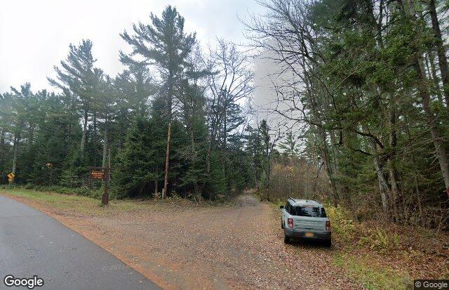
Debar Mountain Wild Forest
About this Location
Debar Mountain Wild Forest is part of the Adirondack Forest Preserve and is located in the northern portion of the Adirondack Park. The tract includes 81,160 acres of Forest Preserve lands generally bounded by the park boundary on the north, NY-30 on the west, CR-55 on the south, and NY-3, CR-26, D&H Road, and Wolf Pond Road on the east.
The summit of the 3,305-foot Debar Mountain, the unit's namesake, is the highest point in the unit. Other peaks include the 3,279-foot Loon Lake Mountain, the 2,867-foot Baldface Mountain, and the 2,841-foot Kate Mountains. Much of the terrain consists of low hills and flat river valleys.
There are numerous water bodies in the Wild Forest, the largest of which are the 1,185-acre Meacham Lake, the 588-acre Rainbow Lake, the 508-acre Osgood Pond, the 377-acre Lake Kushaqua, and the 86-acre Debar Pond. The North Branch Saranac River, Osgood River, Hays Brook, Hatch Brook, and many other small streams and brooks flow through the Wild Forest.
Last updated April 25, 2024


