Englewood MetroPark
Tips for Birding
Also, see these two adjacent parks
Aullwood Audubon Center
Aullwood Garden MetroPark
About this Location
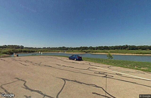
Englewood MetroPark is one of five natural areas created by the construction of earthen flood control dams. Stillwater River, lakes, woods, and wetlands serve as focal points of this 1,900-acre MetroPark.
Englewood MetroPark is a large and heavily utilized MetroPark. The natural areas of the park contain floodplain forests, large areas of former farmland in natural succession, second-growth upland hardwood forest, significant remnants of mature and old-growth forest, a large shallow lake/wetland, several managed grasslands, and the scenic Stillwater River. The park also contains a series of rehabilitated gravel quarries along Old Springfield Road (North Park).
Notable Trails
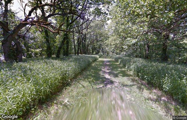
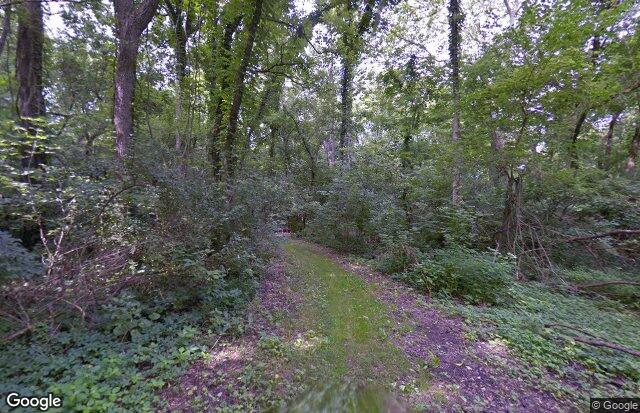
Englewood MetroPark Trails
Englewood Metropark has more than 20 miles of scenic trails.
Located in Englewood’s East Park, the green trail is accessible near Patty Shelter for a hike through woodlands and pumpkin ash and swamp forest. The trail takes you by three waterfalls. The East Park trails are color-coded loops with intersections marked by a number corresponding to numbers on the inside map. Loops range from one-half to 3.8 miles and can be combined for additional mileage.
Green Trail – 3.8 miles
Black Trail – .4 mile
Blue Trail – .5 mile
Purple Trail – .5 mile
Yellow Trail – .8 mile
Red Trail – 1.2 miles
White Trail – 1.2 miles
Features
Restrooms on site
Content from Official Website