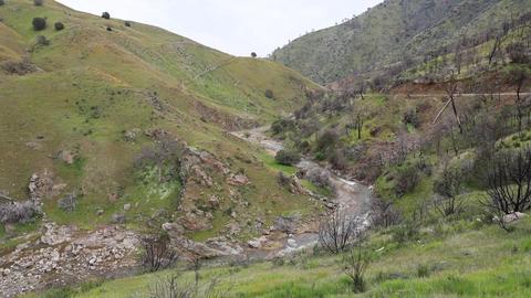
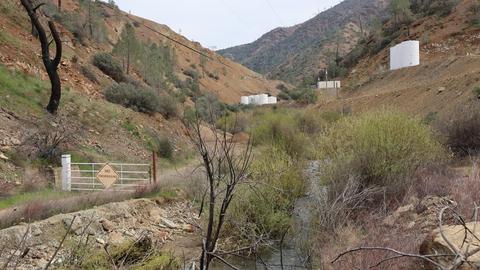
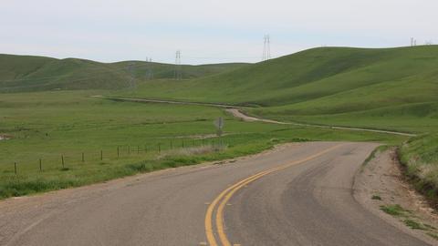
Del Puerto Canyon

Tips for Birding
The hotspot Del Puerto Canyon--mile 0-21.3 (STA Co.) includes the entire length of Del Puerto Canyon Road It is preferable to use more specific eBird Hotspots whenever possible. eBird prefers checklists along roads to be less than five miles long. For these reasons, please use the more specific eBird Hotspots for Del Puerto Canyon Road, beginning a new checklist for each section of the road you bird. Use these Hotspots when birding along Del Puerto Canyon Road:
Del Puerto Canyon Rd.--grassland (mile 0-3.4)
Del Puerto Canyon Rd.--lower canyon (mile 3.4-8.0)
Del Puerto Canyon Rd.--middle canyon (mile 8.0-12.0)
Del Puerto Canyon Rd.--parks region (mile 12.0-17.0)
Del Puerto Canyon Rd.--upper canyon (mile 17.0-21.3)
There are also several eBird Hotspots for specific locations along the road. Use one of these when you stop to bird at any of these locations.
Del Puerto Canyon Rd.--Owl and Graffiti Rocks
Frank Raines Reg. Park--Minniear day use area (mile 11.9-14.2)
Frank Raines Reg. Park--day use area (mile 15.3-15.7)
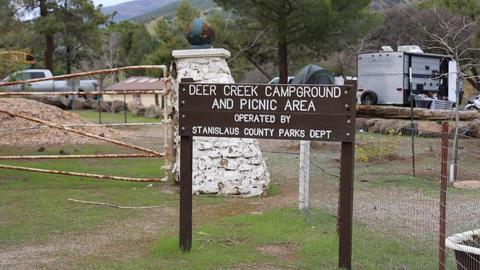
Frank Raines Reg. Park--Deer Creek Campground (mile 16.9-17.1)
Frank Raines Reg. Park--off hwy vehicle area (mile 15.3-16.7)
Del Puerto Canyon Rd.--Adobe Springs (STA Co.)
About this Location
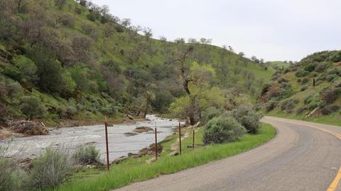
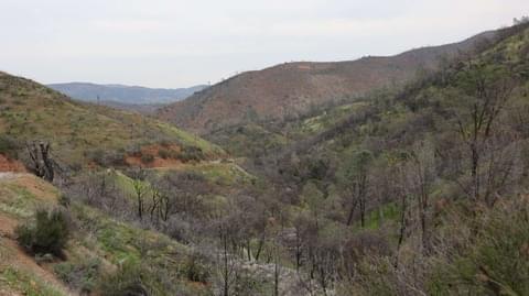
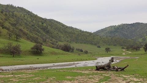
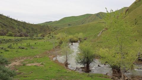
Del Puerto Canyon is the only publicly accessible route into the Diablo Range in Stanislaus County. As such, it is an important birding area within the county.
Features
Restrooms on site