
Mount Watatic

Tips for Birding
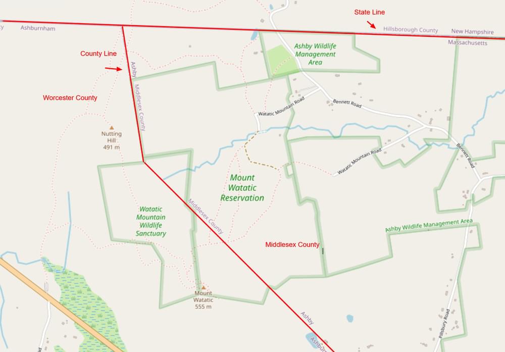
The Worcester-Middlesex county line is on Watatic. Worcester County is to the west and Middlesex County is to the east. If you carefully keep your bird records by county, be aware of the location of the county line and use the appropriate eBird hotspots when you submit checklists.
About this Location
Mount Watatic is one of the most visited mountains in central Massachusetts because its bald summit gives 360-degree panoramic views: to the east, the Boston skyline, to the south, Mount Wachusett, to the west, Mount Monadnock and to the north, the Wapack Range. The landscape is diverse with open ski slopes and rock outcroppings in various stages of succession, and remnants of old growth along steep forested slopes.
Public Access
The Mount Watatic Reservation is open to the public for non-motorized recreation including hiking, nature watching, mountain biking, snowshoeing, and skiing. Mount Watatic intersects the Wapack and Midstate trail systems.
Notable Trails
The AllTrails website has a description and map of a hike at Mount Watatic.
Content from Official Website
Last updated December 16, 2023
 Map adapted from © OpenStreetMap contributors