Murtle Lake Group


Thompson-Nicola, British Columbia, Canada
Wells Gray Park--Murtle Lake--Strait Creek campsite
47 species

About this Location
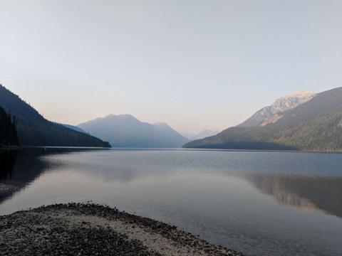
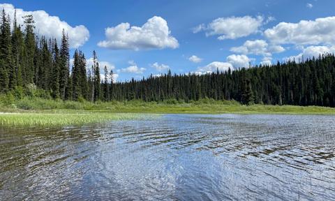
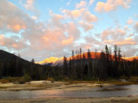
Murtle Lake is the largest canoe-only lake in North America. Set in a pristine mountain valley, the north and west arms are approximately 20 km long, averages three kilometres wide and has over 100 km of shoreline.
Murtle Lake is a lava dammed lake located in Wells Gray Provincial Park that fed primarily by the Murtle River from a large unnamed glacier in the Cariboo Mountains at an elevation of 2,300 m (7,546 ft) and flows southwest for 18 km (11 mi) to the lake. The Murtle River also drains Murtle Lake then flows southwest for 36 km (22 mi) into the Clearwater River.
Murtle Lake has two arms. The North Arm extends fjord-like deep into the Cariboo Mountains. The West Arm, which attracts the most visitors, has extensive sandy beaches, many coves and three islands. The Wavy Range rises above the east shore of the north arm. Central Mountain occupies the bend between the two arms. The valley of Stevens Lakes extends to the south towards Battle Mountain.
In 1968, about 40% of Wells Gray Park or 525,680 acres (212,735 ha) was set aside as the Murtle Lake Nature Conservancy and gave this area a high level of protection from development. Two years later, motorboats and aircraft were banned and today Murtle Lake is the largest lake in North America where only canoes and kayaks are allowed
Features
Restrooms on site
Content from BC Parks and Wikipedia: Murtle Lake
Last updated March 18, 2024
 Myrtle Lake
BC Parks