Mt. Pinos and Mt. Abel Area
Mt. Pinos and Mt. Abel Area
Mt. Pinos Forest District website
Hike Los Padres website
Parks Management Company website
About this Location
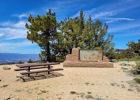
Mount Pinos is located in the Los Padres National Forest on the boundary between Ventura and Kern counties in California. The summit, at 8,847 feet is the highest point in Ventura County. Mount Abel, or Cerro Noroeste, is a mile north in Kern County and reaches an elevation of 8283 feet.
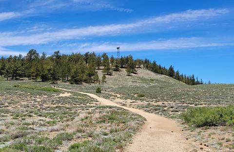
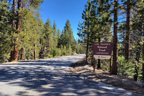
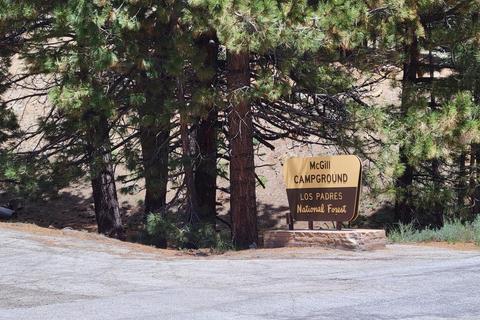
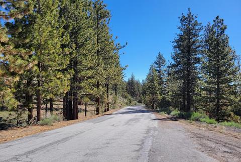
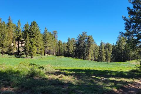
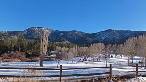
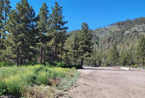
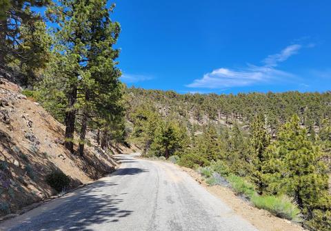
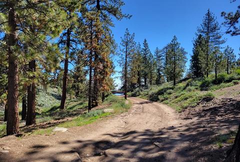
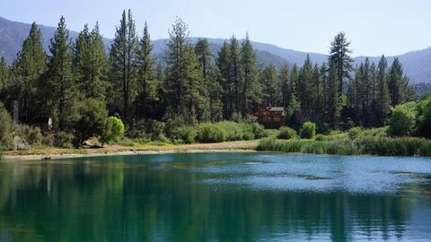
The small community of Pine Mountain Club lies due north of Mount Pinos and sits in a deep valley of the San Emigdio Mountains. Camping is available at a number of campgrounds in the area. Mount Pinos is known for its many scenic hiking trails, and winter sports including cross-country skiing, sledding, and snowboarding. The summit can be reached by a 2-mile hike along a dirt road from a parking area at the end of Cuddy Valley Highway, or Los Padres National Forest Road S349S. The trail continues to the west entering the Chumash Wilderness and ends at Mount Abel (Cerro Noroeste). Almost all of this 6-mile trail is above 8,000 feet. The view from the summit on a clear day encompasses the southern Central Valley, the southernmost Sierra Nevada mountains, much of northern Ventura County, much of the Santa Barbara County mountains, the Caliente Range, and the Carrizo Plain.
Mount Pinos is considered by ecologists to be home to one of the most significant populations of birds of prey in California. Five owl species, Northern Goshawks, as well as California Condors live in the area. It is also home to alpine endemics such as Mountain Quail, Clark's Nutcracker, Steller's Jay, Dusky Flycatcher, Pygmy Nuthatch, Cassin's Finch, "Thick-billed" Fox Sparrow, and Green-tailed Towhee.
Road closures are expected during winter months due to snowfall. Check the Mt. Pinos Ranger District website for information on seasonal closures and road conditions. Cell phone coverage in the area may be intermittent.
Features
Restrooms on site
Last updated April 22, 2024
 Mount Pinos Area