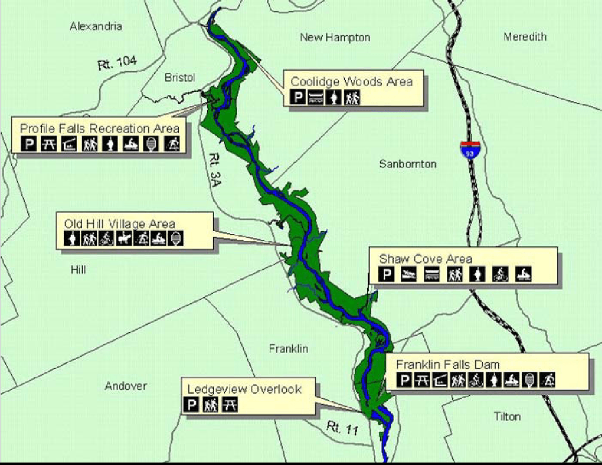
Franklin Falls Reservoir
About this Location
Franklin Falls Reservoir was created by the Franklin Falls Dam on the Pemigewasset River. The dam was built by the U.S. Army Corps of Engineers in the 1940s for flood control purposes, after a devastating flood in 1936 that affected many towns along the Merrimack River. The reservoir area covers over 2,500 acres of land and offers various recreational opportunities for visitors, such as boating, fishing, hiking, and mountain biking. The trails around the reservoir are known for being fast and smooth, with minimal rocks and roots. The reservoir also attracts wildlife such as deer, pheasant, and waterfowl, making it a popular destination for hunters and nature lovers.
Notable Trails
The Franklin Falls Dam offers several multi-use trails throughout its scenic 3,900 acres. Many trails follow the Pemigewasset River, which has carved a narrow river valley through the New Hampshire hills. The lush valley provides homes for a variety of native New England Wildlife, giving hikers, and sightseers much to view while traversing these trails.
One popular trail is the Piney Point Nature Trail located just downstream of the dam and loops around a peninsula which is covered by a mixed forest. This is a 1.8-mile-long trail and has several points of interest each corresponding to an interpretive sign which describes the natural occurrence.
Content from Official Website
Last updated November 8, 2023