
Squannacook River Wildlife Management Area
Squannacook River Wildlife Management Area
Official Website
Squannacook River Wildlife Management Area map
About this Location
Squannacook River Wildlife Management Area (WMA) is composed of many scattered parcels. The parcels are mostly flat, valley bottom land that follows the Squannacook River from just below its origin at the confluence of Willard and Trapfall Brooks in West Townsend, downstream to just above where it flows into the Nashua River in Ayer. The area is mostly wooded. Its sandy soils support unusually fine stands of white pine interspersed with less dominant oaks and maples. There are a few open fields, in addition, an abandoned power line runs from a sandpit on Harbor Road to MA-225.
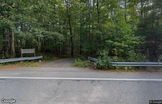
Several areas of parking and access can be obtained from MA-119, Townsend Road, Harbor Road, Shirley Road, Meetinghouse Road, South Row Road, Elm Circle, Turnpike Road, Dudley Road, Greenville Road, and Squannacook Road.
The Squanacook River offers excellent opportunities for kayaking. Wildlife viewing is especially good along the river and within the open sand plain off of Elm Circle in Townsend. Whippoorwills, Eastern towhee, scarlet tanager, and other scrubland birds are often seen here and moose have been occasionally reported.
Notable Trails
The AllTrails website has descriptions and maps of hikes at Squannacook River Wildlife Management Area.
Content from Official Website