
Windham Rail Trail
About this Location
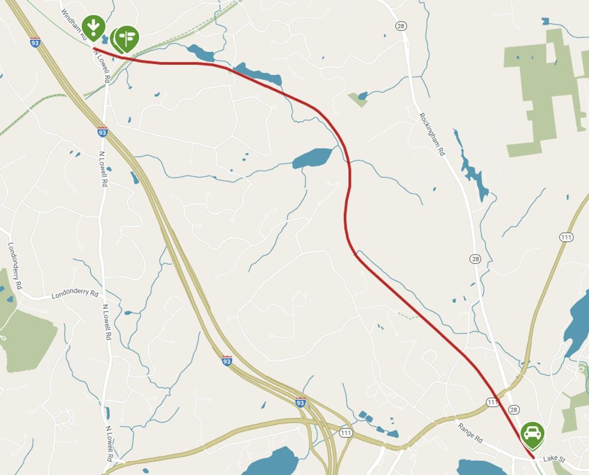
The Windham Rail Trail passes through the woodsy periphery of Windham in southern New Hampshire, but it sits in the heart of the future cross-state Granite State Rail Trail. Its connections to the Derry Rail Trail in the north and the Salem Bike-Ped Corridor in the south make up the longest paved section, 10 miles, of a future 125-mile route between Massachusetts and Vermont that will combine several trails.
The trail follows a railbed taken out of service by the Boston and Maine Railroad in 1980. Rail service first came to Windham in the 1840s with the Manchester and Lawrence Railroad, which carried freight and passengers to the growing industrial belt. A 3-mile section through Windham cost the most to build because of extensive rock cutting and the filling of lowlands. The Boston and Maine gained control in 1887. After the line fell into disuse, it became a gravel multiuse trail; Windham finished paving the path in 2016.
At the northern trailhead near the Derry town line, explore the Boston and Maine Railroad C-16 caboose and the restored 1849 Windham Depot and freight terminal. The station served the busy junction between the Manchester and Lawrence Division and the Worcester, Nashua & Portland Division of the Boston and Maine Railroad. Today the trailhead serves as a rail-trail crossroads with the Rockingham Recreational Rail Trail (Fremont Branch), see page 139, heading northeast and the future Windham Greenway heading west.
You’ll meet the Derry Rail Trail 0.2 miles northwest of the trailhead. That paved trail continues north 4 miles into downtown Derry. In the other direction, the trail passes between the old station and freight house and enters a wooded area that borders most of the path.
You’ll pass two marshy areas as you follow Flatrock Brook and cross over Mallard Road in the first mile. Mitchell Pond comes into view on the right in .8 mile. This area presented problems for the railroad builders as the railbed kept sinking into a meadow. Not far past the pond, you’ll fall into the shade of the first pass-through rock, which also slowed railroad construction.
Scottish immigrants began settling in the Windham area in 1719 and turned to farming. You’ll see the low stone walls that separate their fields as you head south along the path. Old stone cellars dug below the settlers’ houses can also still be found in the woods. An old stone arch bridge, made of local granite, carries the trail across a stream at about mile 3. Not far past the bridge, you’ll enter a rocky, 0.25-mile-long railroad cut through a nearly 30-foot hill. The effects of the shade, water seepage, and the cool breeze funneled through the cut, called the Rainforest Ledge, create a natural air-conditioning system in summer.
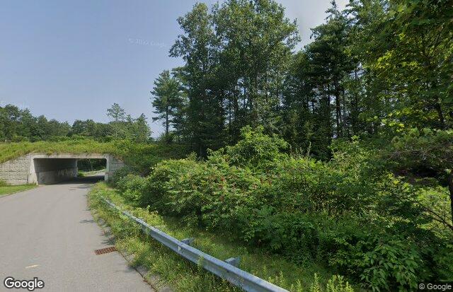
The only road crossing on the trail is at Roulston Road (no parking here), then you’ll cross NH-111 on a modern pedestrian bridge at mile 3.6. The trail ends in 0.4 miles on Range Road, where you’ll find a bicycle shop. Cross Range Road to pick up the Salem Bike-Ped Corridor.
Last updated October 24, 2023
 From TrailLink website