Bolton Flats Wildlife Management Area

Bolton Flats Wildlife Management Area
Lancaster, Massachusetts 01523
Official WebsiteBolton Flats Wildlife Management Area map
About this Location
Bolton Flats Wildlife Management Area is located in Lancaster, Harvard, and Bolton.
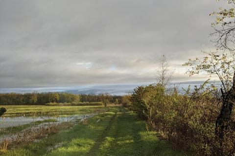
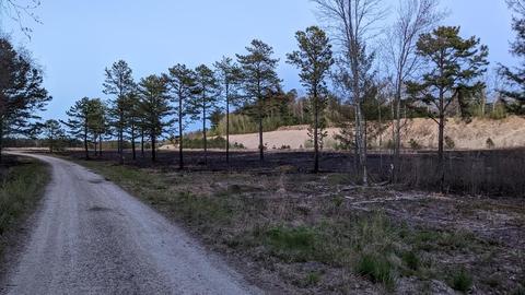
The Bolton Flats Wildlife Management Area extends along the Nashua River in Harvard, Lancaster, and Bolton. The river here is slow and meandering, with adjacent High-Terrace Floodplain Forest and Low-Energy Riverbank. West of the river, a steep bank climbs up out of the floodplain forest onto a broad expanse of sand. Much of this sand has been mined away, but there is a remnant of Pitch Pine-Scrub Oak woods (on town-owned land) near the rail line.
The combination of a slow river, floodplain forest, and dry sand makes for excellent turtle habitat. The marshes along the river also support rare marsh-nesting birds: American Bittern (Endangered), King Rail (Endangered), and Pied-billed Grebe (Endangered) have all been spotted here at some time of year.
Downstream of the Bolton Flats WMA is the 700-acre Oxbow National Wildlife Area, and west across the rail line is the former Fort Devens Military Reservation, about 5,000 acres, some of which are still used for military training, but much of which will eventually become protected for conservation. In the rapidly developing towns along Route 2 west of Boston, these three properties form a large block of important rare species habitat. Such large blocks of open land, particularly those with a mosaic of upland and wetland habitats, are essential to the long-term survival of the Blanding’s Turtle, which wanders one mile or more in a single season traveling among feeding, nesting, and wintering areas.
Content from Official Website
