Birding in San Luis Obispo County
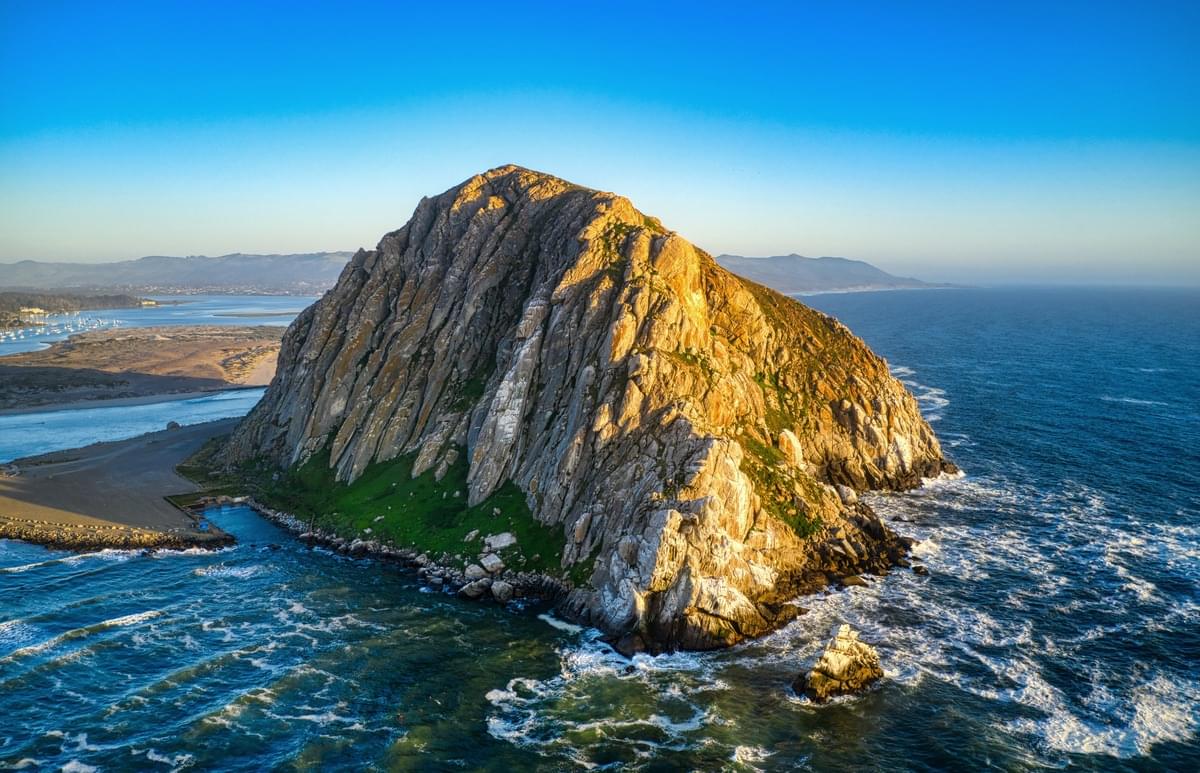 Morro Rock - Photo: Venti Views
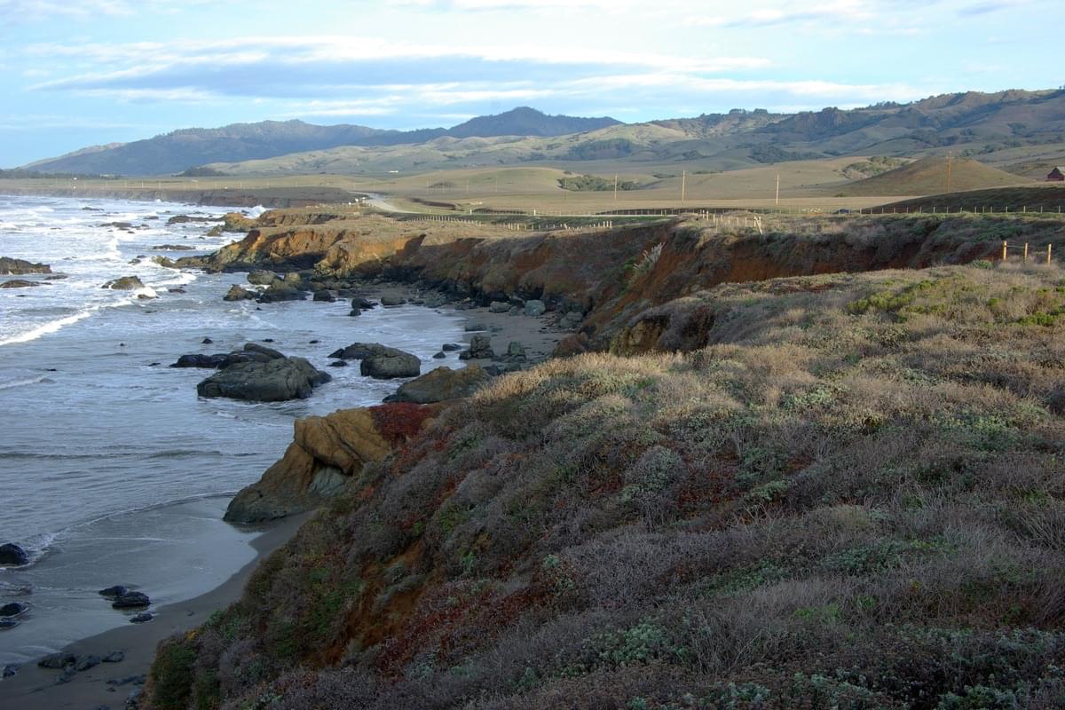 San Luis Obispo County North Coast - Photo Alan Schmierer (CC0 1.0)
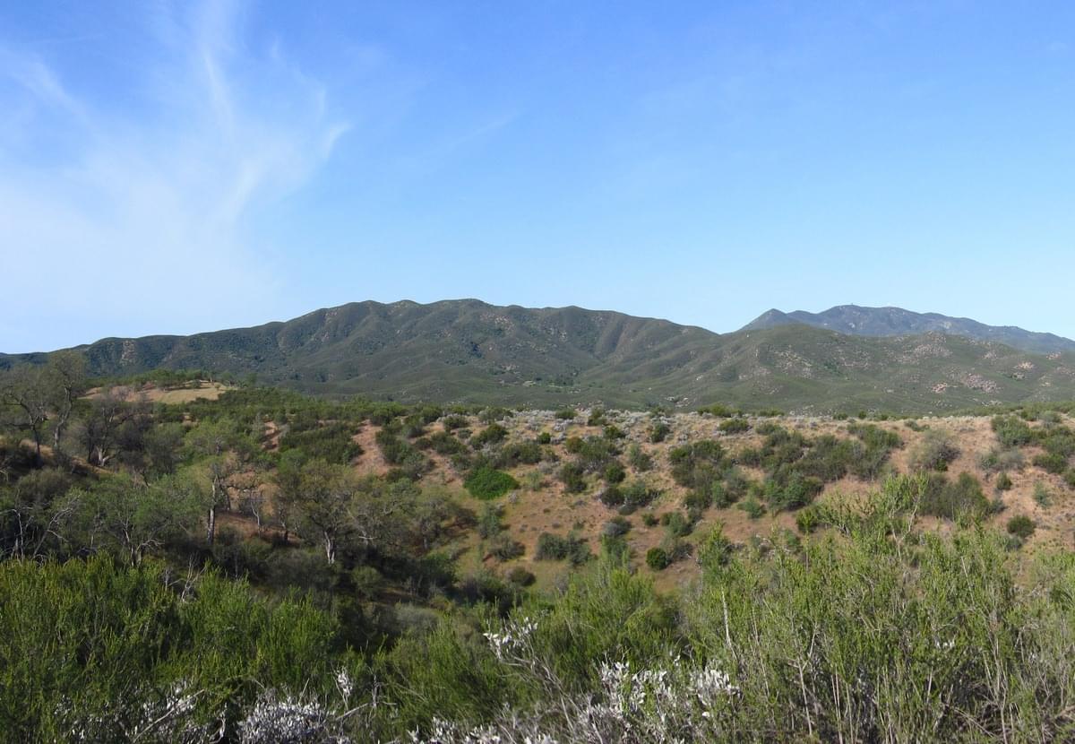 La Panza Range - Photo Chris Morris (CC BY 2.0)
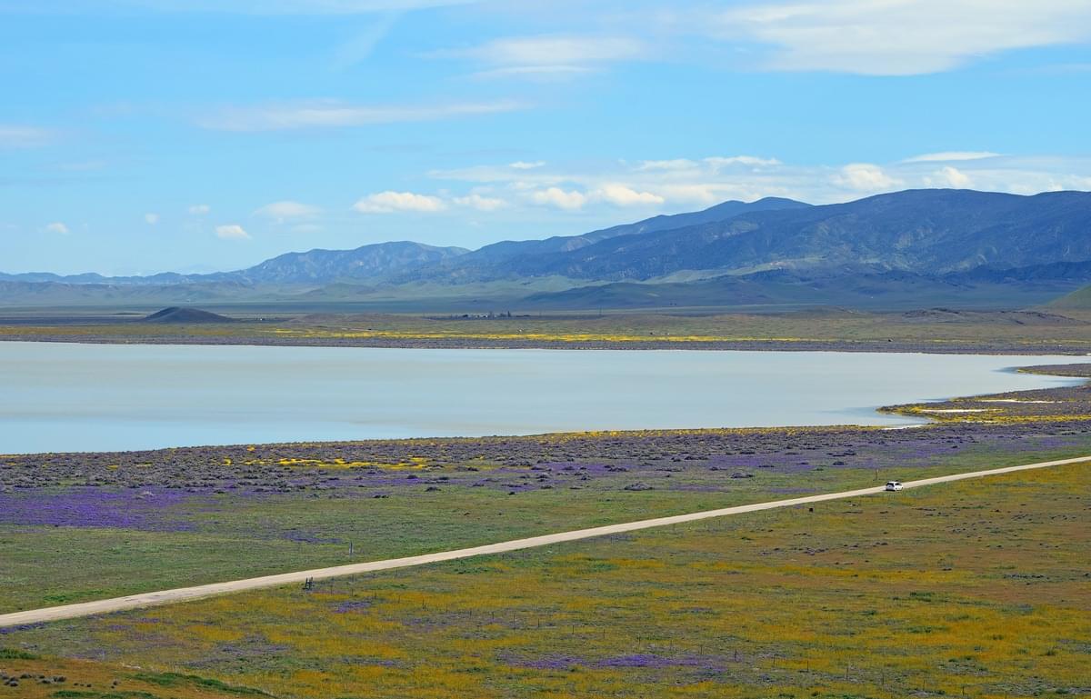 Soda Lake - Photo: Pamela Heckel
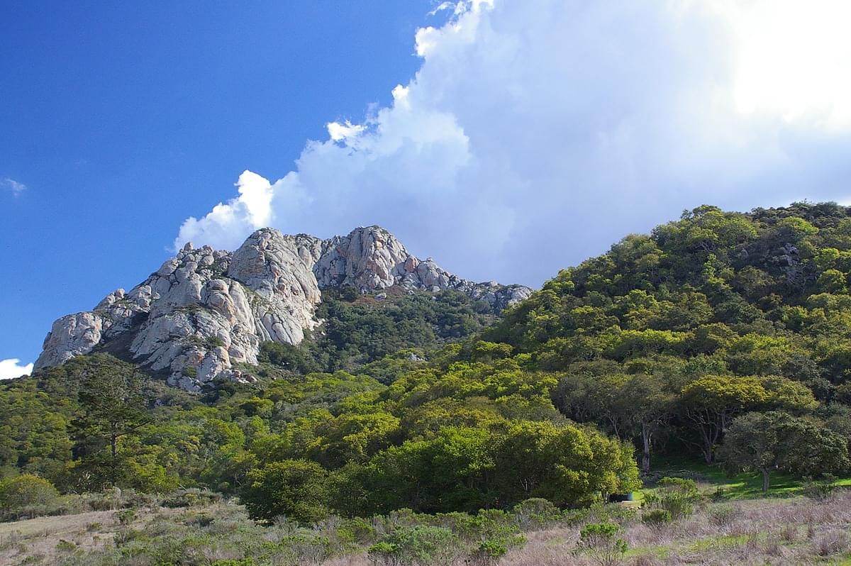 Hollister Peak - Photo Alan Schmierer (CC0 1.0)
The County of San Luis Obispo was established in 1850 as one of the original 27 counties in California. The region is 3,616 square miles with 100 miles of coastline. The small size of the county's communities, scattered along the beaches, coastal hills, and mountains of the Santa Lucia range, provides a wide variety of coastal and inland hill ecologies to support fishing, agriculture, and tourist activities. Grapes and other agricultural products are an important part of the economy. San Luis Obispo County is the third largest producer of wine in California.
The Nine Sisters or the Morros is a chain of twenty-three, although typically only nine are included, volcanic mountains and hills in western San Luis Obispo County. The peaks, or volcanic plugs, formed in a nearly straight line that run between Morro Bay and San Luis Obispo. Two of the plugs are in Morro Bay State Park. The highest is Bishop Peak at 1,559 feet. The 581-foot Morro Rock is a prominent feature of the San Luis Obispo coastline and was declared a California Historical Landmark in 1968.
The Santa Lucia Mountains or Santa Lucia Range extend southeast through the interior of San Luis Obispo County to the Cuyama River. Within the Santa Lucia Range is found the Los Padres National Forest. The summit of Caliente Mountain at 5,106 feet is the highest point in the county. The western slopes of this range include redwood forests at the northern end, and oak woodlands at the southern end. The east side is drier, with chaparral and open woods of pine (including Coulter Pine and Gray Pine) and oak-savanna woodlands. San Luis Obispo County reservoirs and watersheds include Lake Nacimiento, Santa Margarita Lake, Lopez Lake, the 175 mile long Salinas River, San Luis Obispo Creek, and Arroyo Grande Creek.
The remote Carrizo Plain National Monument located in eastern San Luis Obispo County is a large enclosed grassland plain, approximately 50 miles long and up to 15 miles across. It is the largest single native grassland remaining in California. The average elevation of the plain is about 2,200 feet. Soda Lake, a 3,000-acre alkaline lake, is in the center of the plain. As the central depression in an enclosed basin, Soda Lake receives all its runoff from both sides of the plain. The Carrizo Plain is home to 13 species listed as endangered, the largest concentration of endangered species in California. The plain is a popular destination for observing spring wildflowers and for birding due to the unique avifauna found in the area. Bird species of the Carrizo Plain include raptors such as Golden Eagle, Ferruginous Hawk, Swainson's Hawk, Rough-legged hawk (rare), Prairie Falcon, Mountain Plover, Mountain Bluebird, Burrowing Owl, LeConte’s Thrasher (local), Bell’s Sparrow, and Brewer’s Sparrow. Large flocks of Sandhill Cranes numbering from the low hundreds to thousands historically used Soda Lake as a wintering site. California Condor is occasionally reported in the county.
San Luis Obispo County has around 300 birding Hotspots. Offshore and coastal birds such as cormorants, gulls, terns, loons, scoters, and shearwaters can be seen from several beaches, bluffs, and promontories. Shorebirds are commonly found in estuaries and along sandy beaches. Popular coastal vagrant traps have recorded several eastern warblers during fall migration. Rarities include Emperor Goose, Ivory Gull, Common Ringed-Plover, Red-necked Stint, Short-tailed Albatross, Arctic/Kamchatka Leaf Warbler, Cassin's Sparrow, and Streak-backed Oriole.
National Protected Areas include Guadalupe-Nipomo Dunes National Wildlife Refuge (part), California Coastal National Monument, Carrizo Plain National Monument
Other Links