Santa Barbara County
Where to Go Birding in Santa Barbara
Hotspots
Top Hotspots
All Hotspots (532)
- 7402 - 7418 Hollister Ave (Tech Park)
- A St. ponds
- Alice Keck Park Memorial Garden and Alameda Park
- Alisal Rd.
- Aliso Canyon Road
- Aliso Loop Trail, Sage Hill Campground
- Aliso Park
- Allan Hancock College
- Anacapa / Santa Cruz passage (SBA Co.)
- Andree Clark Bird Refuge
- Andrew Murray Vineyards
- Aniso Trail from Refugio SB to closure
- Anisq'Oyo' Park
- Antone Road San Marcos Foothills Preserve
- Arguello Canyon/948 Bank (SBA Co.)
- Armour Ranch Rd.
- Arroyo Burro Beach
- Arroyo Burro Creek
- Arroyo Burro Open Space
- Arroyo Burro Trail
- Arroyo Burro Trail (ocean side)
- Arroyo Hondo Preserve
- Arroyo Hondo Vista Point
- Arroyo Quemada Lane
- Atascadero Creek--East of Patterson including Mitigation Area
- Atascadero Creek--Patterson Ave. to Ward Dr.
- Atascadero Creek--Walnut Lane to Puente Dr.
- Autumn Woods (private community park)
- Bacara Resort And Spa
- Ballinger Canyon
- Ballinger Canyon Campground
- Barka Slough
- Baron Ranch Trail
- Baseline Ave, between Happy Canyon Road and east of 154
- Bates Canyon Campground
- Bates Canyon Rd south of campground
- Bates Rd. bridge (SBA Co.)
- Beattie Park
- Beckmen Vineyards
- Bella Vista Dr overlook
- Bella Vista OSP
- Big Pine Mountain (general, use a more specific hotspot when possible)
- Big Pine Mountain--Alamar Saddle and Campground
- Big Pine Mountain--Big Pine Camp and Spring
- Big Pine Mountain--Big Pine Summit Trailhead to Alamar Saddle
- Big Pine Mountain--Bluff Camp
- Big Pine Mountain--Ceanothus patch
- Big Pine Mountain--Upper Sisquoc Drainage, including Upper and Lower Bear Campgrounds
- Big Pine Mountain--West Big Pine Trail
- Big Pine Mountain--West-facing forest north of Ceanothus patch
- Big Pine Mountain--between Ceanothus patch and West Big Pine Trail
- Big Pine Mountain--summit area
- Birabent Canyon
- Bird Island (Santa Barbara Co.)
- Bishop Ranch
- Black Road pasture
- Blue Canyon
- Bohnett Park
- Bridlewood Winery
- Brown Road at Corralitos Canyon
- Burton Mesa Ecological Reserve
- Burton Mesa Ecological Reserve--Santa Lucia Canyon marsh
- Butterfly Beach
- CA-154 x Old San Marcos Pass Rd
- Cable Corral Rd--SBA Co.
- Cabrillo Ball Park
- Cabrillo Business Park (restricted access)
- Cachuma Creek south of Lion Canyon
- Cachuma Lake Park
- Cachuma Lake--Sweetwater Trail
- Cachuma Lake--east end
- Cachuma Lake--west end
- Cachuma Saddle
- Cactus Lane Tipu
- Caliente Ranch Wetland
- Camino Corto Open Space and Del Sol Vernal Pool Preserve
- Camino Real Marketplace (including stakeout Rusty Blackbird 2000, 2001, 2002, 2003, 2009, 2013)
- Camino Rio Verde and Camino Meleno, Goleta
- Canada Del Corral
- Carpinteria Bluffs 3
- Carpinteria Bluffs Nature Preserve
- Carpinteria Bluffs seal haulout
- Carpinteria Cemetery
- Carpinteria City Beach
- Carpinteria Creek
- Carpinteria Creek Estuary
- Carpinteria Creek Park
- Carpinteria Police Station tams
- Carpinteria SB
- Carpinteria Salt Marsh Nature Park
- Carpinteria Salt Marsh Reserve (restricted access)
- Carpinteria Valley Memorial Park
- Carpinteria--Taj Majal palms
- Casey Avenue
- Casmalia--Point Sal Road
- Cat Canyon Road
- Catway Rd.
- Chase Palm Park
- Chumash Painted Cave State Historic Park
- Coal Oil Point Reserve (if possible, use more specific hotspot)
- Coal Oil Point Reserve--Devereux Slough
- Coal Oil Point Reserve--Dune Pond
- Coal Oil Point, Devereux Beach, Sands Beach, and bluff trails
- Cold Springs Canyon
- Colson Canyon
- Coronado Dr.--south end (Goleta Monarch Grove)
- Cottonwood Canyon
- Cuyama Dairy at Foothill Rd (restricted access)
- Cuyama Valley (SBA Co., please use more specific hotspot if possible)
- Cuyama Valley farm land south of 166 (including Bell, Foothill, and Kirschenmann Roads)
- Dabney Cabin
- Dangermond Preserve--Coastal Lowlands West of Cojo Ranch (restricted access)
- Dangermond Preserve--Cojo Bay Road Arroyos (restricted access)
- Dangermond Preserve--Cojo Ranch Headquarters (restricted access)
- Dangermond Preserve--Hawkwatch Spot (restricted access)
- Dangermond Preserve--Perco's Beach and Cojo Bay Beaches (restricted access)
- Dangermond Preserve--Willow Corridor to Pond Transect (restricted access)
- David Love Place, Goleta
- Davy Brown Campground
- Davy Brown Trail
- De la Guerra Spring Area
- Deer Park Canyon (SBA Co)
- Don Victor CG
- Don Victor CG to Roblar Canyon
- Don Victor Fire Rd.
- Douglas Family Preserve
- Douglas Family Preserve (aka Wilcox Property)
- Dry Canyon
- Eagle Canyon Creek
- East Beach
- East Pinery
- Edgecliff Point, Santa Barbara
- El Capitan Canyon Resort/Trails and Bill Wallace Trail
- El Capitan SB
- El Carro Park
- Elings Park
- Ellwood Beach
- Ellwood Mesa Open Space
- Ennisbrook Open Space
- Evergreen Open Space
- Fairview Gardens (restricted access)
- Fairway Drive X A Street Pond, Santa Maria
- Farren Road
- Figueroa Mtn. Campground
- Figueroa Mtn. summit
- Figueroa Mtn.--Pino Alto Rd.
- Floradale x Central Ag Fields (restricted access)
- Forest Route 8N08 from Cachuma Saddle to McKinley Spring Camp
- Forte Ranch (stakeout Gray Catbird 2017, restricted access), Santa Barbara
- Four Seasons Resort The Biltmore Santa Barbara (formerly The Biltmore)--tennis courts and grounds
- Fox Mountain
- Foxen Canyon Rd (south of Zaca Station Rd. crossing)
- Foxen Canyon Rd. (north of Zaca Station Rd. crossing)
- Franceschi Park
- Franklin Park (Santa Barbara Co.)
- Franklin Trail
- Fremont Trail
- Gainey Vineyard
- Garden St. willows
- Gaviota Peak Trail
- Gaviota SP
- Gaviota Wind Caves
- Gibraltar Reservoir
- Gibraltar Reservoir--east end
- Gibraltar Rock
- Girsh Park, Goleta
- Glen Annie Golf Course
- Goleta Beach County Park (including east end of Goleta Slough)
- Goleta Cemetery
- Goleta Sanitary District Plant (restricted access)
- Goleta Slough Ecological Reserve--Area K
- Goleta Slough Ecological Reserve--Area N
- Goleta Slough Ecological Reserve--Areas A+H
- Goleta Slough Ecological Reserve--Areas I + J
- Goleta Slough Ecological Reserve--Areas L and M
- Goleta Slough Ecological Reserve--Los Carneros Rd. at Mesa Rd.
- Goleta Slough Ecological Reserve--Tecolotito Creek
- Goleta Slough--East Storke Campus Wetland
- Graciosa Rd--south of Rice Ranch Rd (public part only)
- Greenwell Preserve
- Guadalupe Pasture (restricted access)
- Hans Christian Andersen Park
- Happy Canyon Rd.
- Happy Canyon Rd.--upper
- Haskell's Beach
- Hollister Ranch (restricted access)
- Honda Valley Park
- Hot Springs Canyon
- Hunt Drive (hawkwatch site)
- Hwy 101--Gaviota Rest Area (northbound)
- Hwy 101--Gaviota Rest Area (southbound)
- Isla Vista Disc Golf Course
- Jack O'Connell Park
- Jalama Beach County Park
- Jalama Canyon Ranch (restricted access)
- Jalama Road (retired, instead use north or south slope hotspot)
- Jalama Road--Hwy 1 to Jalama Saddle
- Jalama Road--Jalama Beach to Jalama Saddle
- Jameson Lake, CA
- Jesusita Trail
- Jim May Park (fmr River Oaks Park)
- Kim's Market pond
- Kinevan Rd.
- Knox School/Unitarian Society of SB
- La Cumbre Country Club (restricted access)
- La Cumbre Peak
- La Jolla Spring Trail/Ballard Campground
- La Mesa Park
- La Purisima Mission State Historic Park
- La Tinta Hill
- Laguna County Sanitation District--WTP (restricted access)
- Lake Jocelyn
- Lake Los Carneros Park
- Lane Farms--San Marcos Gardens (restricted access)
- Las Cruces area
- Las Cruzitas Ranch (restricted access)
- Las Palmas Drive Trail
- Las Vegas Creek
- Lauro Canyon Reservoir
- Leadbetter Beach
- Leege Ave--Ocean Ave to Central Ave
- Lions Park
- Little Caliente Spring
- Little Pine Mountain--Happy Hollow Camp
- Live Oak Camp
- Live Oak Rd.
- Live Oak trails
- Lizard's Mouth
- Lompoc Water Treatment Plant
- Long Canyon Road - lower (including pond)
- Lookout Park
- Loon Pt.
- Los Alamos Park
- Los Alamos--Wastewater Treatment Plant (8690 Bell Street)
- Los Flores Ranch Open Space
- Los Padres NF--Pino Alto Picnic Area
- Lotusland
- Lower Alamar CG to Mono Confluence
- Lower Mono Creek
- Lower Montecito--general area
- MacKenzie Park
- Madulce Peak
- Manning Park (Montecito)
- Manzana Schoolhouse Camp
- Maramonte Park
- Maria Ygnacio Creek--between Atascadero Creek and Hollister Ave
- Maria Ygnacio Creek--between Hollister Ave and US 101
- Maria Ygnacio Creek--north of US 101
- Marshallia Ranch Golf Course (closed, restricted access)
- McPherson Peak
- Mesa Rd. at Los Carneros Rd.--NW
- Mesa Rd. at Los Carneros Rd.--SW
- Midland School (restricted access)
- Miguelito County Park
- Mills Preserve at Janin Acres (restricted access)
- Miranda Pine Campground
- Mission Creek outflow (SBA Co.)
- Mission Creek--SB Museum of Natural History
- Mission Hills WTP
- Mission Park
- Mission Pine Trail: McKinley Mtn to San Rafael Mtn Summit
- Mission Pine Trail: San Rafael Mtn To Mission Pine Spring Camp
- Mission Santa Ynez
- Mitchell Road, Santa Maria (historical, no longer active)
- Modoc Preserve
- Monarch Dr, off Baseline Ave
- Mono-Alamar Trail
- Monte Vista Park, Carpinteria
- Montecito--Butterfly Ln.
- Montecito--upper Butterfly Ln.
- Montgomery Potrero
- More Mesa
- More Mesa Beach, Santa Barbara, California, USA
- Mud Lake at Via Santa Maria
- Munch Canyon between East Pinery and Davy Brown campground
- Mussel Rock
- NIRA Campground and Manzana Creek east of Lower Manzana Trailhead
- Naples Point public beach
- New Cuyama WTP
- Newport Dr bridge
- Nojoqui Falls County Park
- North Blosser Rd. Flood Control Pond
- North San Marcos Road (Black Swift Overlook)
- Oak Park
- Ocean Beach County Park and Santa Ynez River Estuary
- Offshore--Escarpment between Rodriguez and San Juan (SBA Co.)
- Offshore--San Miguel Island vicinity (SBA Co.)
- Offshore--Santa Barbara Island vicinity (SBA Co.)
- Offshore--Santa Rosa Island vicinity (SBA Co.)
- Offshore--northern Santa Cruz Basin, south of Santa Cruz Island (SBA Co.)
- Offshore--southern Pilgrim Bank, north of Santa Barbara Island (SBA Co.)
- Offshore--southwest of Pt. Conception (SBA Co.)
- Old Santa Inez Mission Mill
- Orcutt Community Park
- Orcutt Trail East--Black Oak and Brodie Trails
- Orcutt Trail West--Orcutt Hill and Open Space Trails
- Orpet Park and Riviera Business Park
- Ortega Ridge pines
- P-Bar Flat/Pendola Campgrounds
- Pacifica Graduate Institute--Ladera Campus
- Pacifica Graduate Institute--Lambert Rd campus
- Padaro Beach
- Padaro Lane
- Palermo Open Space
- Palmer Road--north of Dominion Road
- Palmer Road--south of Dominion Road
- Parma Park
- Pasadera Homes Pond
- Pato Canyon
- Patterson Ave. agricultural fields (restricted access)
- Pershing Park
- Pesetas Lane
- Phelps Creek greenbelt
- Pioneer Park
- Point Conception Lighthouse (seawatch only, restricted access)
- Point Sal Trail
- Preisker Park
- Prisoner's and Scorpion's harbors transfer (inshore)
- Punchbowl Pond (restricted access)
- Quatal Canyon (SBA Co.)
- Quiota Creek (SBA Co.)
- Rancho Goleta Mobile Home Park (restricted access)
- Rancho Guadalupe Dunes Preserve, including Santa Maria River Estuary (SBA Co.)
- Rancho Guadalupe Dunes Preserve--from entrance to sand plant (not for beach/ocean)
- Rancho Santa Barbara (aka Lone Star Ranch, restricted access)
- Rancho Sisquoc Winery (restricted access)
- Ranger Peak
- Rattlesnake Canyon Trail
- Refugio Creek Canyon
- Refugio Pass
- Refugio Rd--first creek crossing
- Refugio SB
- Renwick Avenue
- Richardson Park
- Rincon Beach County Park
- River Park (SBA Co.)
- River View Park and Santa Ynez Valley Botanic Garden
- Riverbend Park
- Roblar Canyon to Rollins CG
- Rocky Nook Park
- Rodriguez Seamount (SBA Co.)
- Rollins CG
- Rollins CG to Dutch Oven CG
- Rollins CG to Lower Alamar CG
- Romero Canyon
- Romero Canyon Road Hawk Watch Site
- Romero Saddle, Los Padres National Forest
- Rosewood Miramar Beach resort
- S'ap'aksi (The House of the Sun) / Painted Rock Campground
- SBCC Campus--east
- SBCC Campus--west
- Salisbury Potrero
- San Antonio Canyon Park
- San Joaquin Villages
- San Jose Creek, North of Cathedral Oaks
- San Jose Creek--near Armitos Avenue
- San Jose Creek--near Berkeley Road
- San Jose Creek--near Kellogg Open Space
- San Juan Seamount (SBA Co.)
- San Lorenzo Seminary
- San Marcos Foothills Preserve
- San Marcos Foothills Preserve--West Mesa
- San Marcos Pass Vista Point
- San Miguel / Santa Rosa passage (SBA Co.)
- San Miguel Island / Tuqan (SBA Co.)
- San Miguel Island--San Miguel Hill Transect
- San Miguel Island--Willow Canyon Transect
- San Miguel Open Space
- San Miguelito Road at Sudden Road
- San Pedro Creek
- San Pedro Creek x James Fowler Rd
- San Ysidro Canyon
- Sandpiper Golf Course (limited access: patio only)
- Santa Barbara Airport
- Santa Barbara Botanic Garden
- Santa Barbara Breakwater
- Santa Barbara Canyon Road
- Santa Barbara Canyon hiking trail
- Santa Barbara Cemetery
- Santa Barbara Channel--Central Section, Santa Barbara to Santa Rosa Island transit
- Santa Barbara Channel--San Miguel Island vicinity (SBA Co.)
- Santa Barbara Channel--Santa Cruz Island vicinity (SBA Co.)
- Santa Barbara Channel--Santa Rosa Island vicinity (SBA Co.)
- Santa Barbara Channel--east channel (Santa Barbara County only)
- Santa Barbara Channel--off Santa Barbara Harbor, at sea
- Santa Barbara Channel--offshore south of Campus Point
- Santa Barbara Channel--west channel (SBA Co.)
- Santa Barbara Harbor
- Santa Barbara Harbor--Stearns Wharf
- Santa Barbara Island (SBA Co.)
- Santa Barbara Municipal Golf Course
- Santa Barbara Municipal Golf Course--McCaw Ave.
- Santa Barbara Pistachio, Highway 33
- Santa Barbara Potrero
- Santa Barbara Shores County Park
- Santa Barbara Zoo
- Santa Cruz / Santa Rosa passage (SBA Co.)
- Santa Cruz Island / Limuw (SBA Co.)
- Santa Cruz Island--Black Point
- Santa Cruz Island--Buena Vista/Centinela
- Santa Cruz Island--Cañada del Puerto (restricted access)
- Santa Cruz Island--Christy Ranch
- Santa Cruz Island--Del Norte Campground
- Santa Cruz Island--Frasier Point
- Santa Cruz Island--Frys Harbor
- Santa Cruz Island--Montañon Ridge
- Santa Cruz Island--Painted Cave
- Santa Cruz Island--Pelican Bay
- Santa Cruz Island--Pelican Bay Trail (restricted access)
- Santa Cruz Island--Portazuela
- Santa Cruz Island--Potato Harbor Trail
- Santa Cruz Island--Prisoners Harbor
- Santa Cruz Island--Sauces Canyon
- Santa Cruz Island--Scorpion Anchorage and Beach Area
- Santa Cruz Island--Scorpion Canyon Campgrounds
- Santa Cruz Island--Smuggler's Cove
- Santa Cruz Island--Smugglers Road
- Santa Cruz Island--TNC Cabins
- Santa Cruz Island--UC Research Station
- Santa Cruz Island--Upper Scorpion Canyon
- Santa Cruz Island--Valley Anchorage
- Santa Cruz Island--main ranch
- Santa Cruz Island--north shore
- Santa Maria Bottoms
- Santa Maria Cemetery
- Santa Maria Country Club (restricted access)
- Santa Maria Mesa Road Ponds
- Santa Maria WTP (restricted access)
- Santa Monica Creek
- Santa Rosa Island / Wi'ma (SBA Co.)
- Santa Rosa Island--Carrington Point
- Santa Rosa Island--Cherry Canyon Trail
- Santa Rosa Island--Historic Ranch Area
- Santa Rosa Island--Lobo Canyon
- Santa Rosa Island--Torrey Pine Grove
- Santa Ynez Airport
- Santa Ynez River Valley
- Santa Ynez River at Santa Rosa Road
- Santa Ynez River--Alisal Bridge
- Santa Ynez River--Juncal
- Santa Ynez River--Refugio Rd bridge
- Santa Ynez River--Upper
- Santa Ynez River--west of Buellton
- Sawmill Basin
- Seaside Gardens
- Sedgwick Reserve (restricted access)
- Sheffield Reservoir
- Shoreline Park (SBA Co.)
- Sierra Madre Rd, middle section
- Sisquoc River at Tepusquet Road
- Skofield Park
- Snyder Trail
- South Refugio Rd--north of Refugio Summit
- Southern Cuyama Valley Grasslands
- Stagecoach Rd x Cold Spring Cyn
- Stevens Park
- Storke Field
- Storke apartments (restricted access)
- Stow Grove Park
- Surf Beach
- Sweeney Rd. pullout
- Tabano Hollow Open Space
- Tar Pit Park
- Tarragona Open Space
- Tecolote Creek -- Hwy 101 to LPNF
- Tecolotito Creek, north of Hollister Ave
- Tepusquet Road--north slope
- Tepusquet Road--south slope
- Tepusquet Road--summit
- Tequepis Trail
- Three-eleven Bank (SBA Co.)
- Tipi Village
- Toro Canyon Park
- Toro Canyon Ridge Trail
- Tuckers Grove County Park
- Tunnel Trail
- Twin Lakes Golf Course (restricted access)
- UC Santa Barbara--Garden Project
- UCSB North Campus Open Space (formerly Ocean Meadows Golf Course)
- UCSB--Campus Lagoon
- UCSB--Campus Point
- UCSB--East beach (formerly Goleta Bay West beach)
- UCSB--Manzanita Village
- UCSB--West Campus
- UCSB--campus
- Upper Oso Campground
- Upper Santa Ynez River--Fremont Campground
- Upper Santa Ynez River--Red Rock Pools
- Upper Santa Ynez River--White Rock Picnic Area
- Upper Toro Canyon road
- Vandenberg SFB (restricted access)--Boathouse
- Vandenberg SFB (restricted access)--Brown's Beach to south of Lions Head
- Vandenberg SFB (restricted access)--Cocheo Park
- Vandenberg SFB (restricted access)--Fitness Center Trail
- Vandenberg SFB (restricted access)--Honda Creek
- Vandenberg SFB (restricted access)--Lake Canyon Ponds
- Vandenberg SFB (restricted access)--Minuteman Beach
- Vandenberg SFB (restricted access)--Point Arguello
- Vandenberg SFB (restricted access)--Point Pedernales
- Vandenberg SFB--Seal Beach (restricted access)
- Vandenberg SFB--Surf Beach to Point Pedernales (restricted access)
- Vandenberg SFB--Trestle Beach (restricted access)
- Vandenberg SFB--Triangle Pond
- Vandenberg SFB--Wall Beach (restricted access)
- Vandenberg SFB--Waterfowl Natural Resources Area (restricted access)
- Vandenberg SFB--north inland (restricted access)
- Vandenberg SFB--south inland (restricted access)
- Vandenberg Village--Moonglow Rd. Basin
- Vandenberg Village--North
- Vandenberg Village--Oak Hill Dr
- Vandenberg Village--golf course The Mission Club (restricted access)
- Vedanta Temple garden
- Via Diego
- Village at Los Carneros Open Space
- Waller Park
- Wasioja Ranch (restricted access)
- Wasioja Road
- West Beach
- West Camino Cielo (Forest Rte 5N12)
- West Camino Cielo near Santa Ynez Peak and Broadcast Peak
- Westmont College
- Willow Glen Park
- Willow Spring Trail
- Winchester Canyon Rd. at Cathedral Oaks Rd. field
- Winchester One Open Space
- Zaca Creek Golf Course Parking Area
- Zaca Lake (restricted access)
- Zaca Station Rd.
- business park at Mentor Dr, Goleta (restricted access)
- lower Figueroa Mountain Rd. (between SR 154 and Birabent Cyn.)
- nighthawk pond at SR 33
- old Upper Mono CG to Ogilvy Ranch
Groups
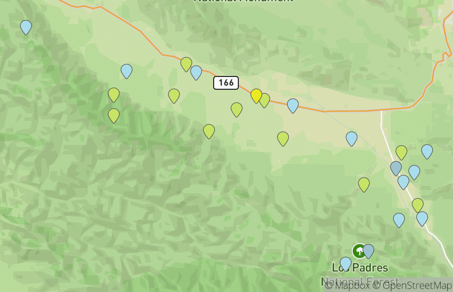
Cuyama Valley
25 hotspots
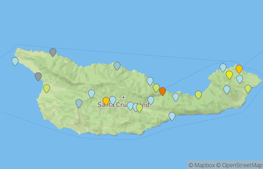
Santa Cruz Island
25 hotspots
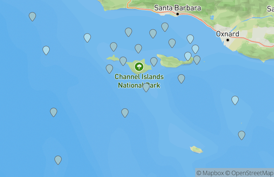
Santa Barbara Offshore Waters
22 hotspots
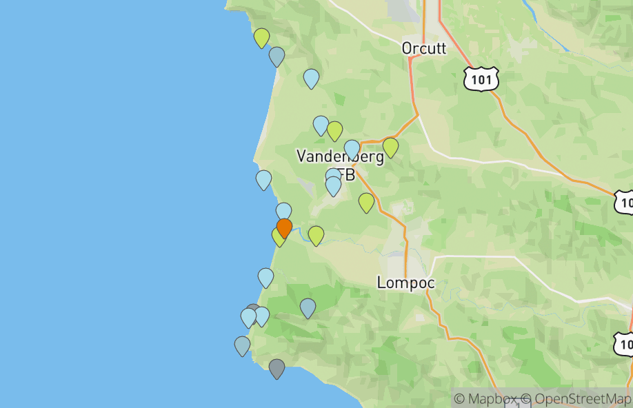
Vandenberg Space Force Base
22 hotspots
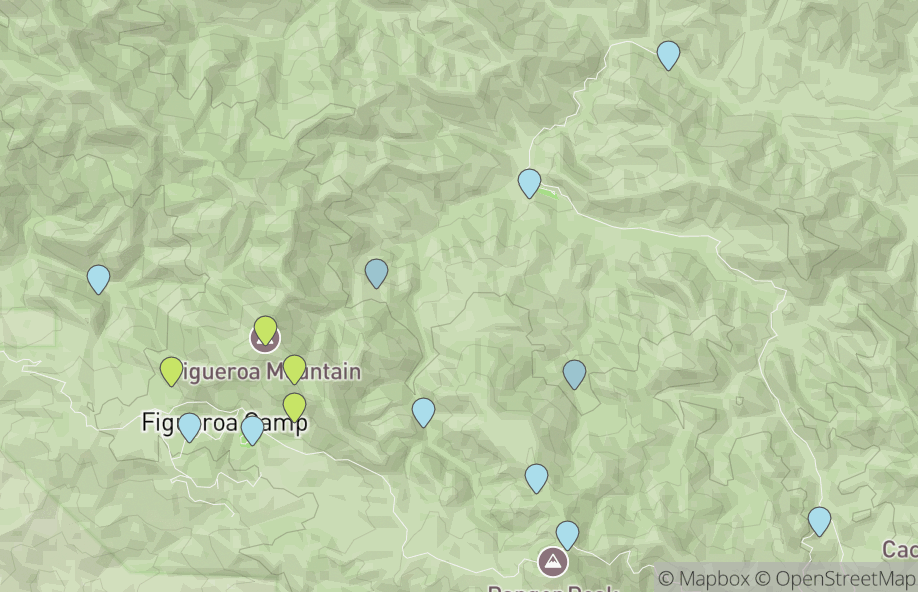
Figueroa Mountain Area
15 hotspots
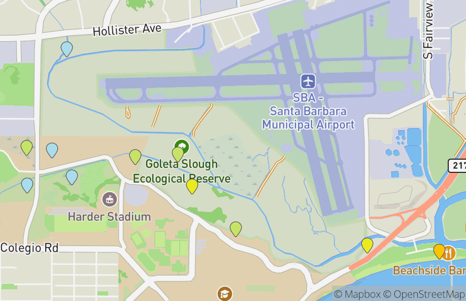
Goleta Slough Ecological Reserve
11 hotspots
Contribute
Are you familiar with some of the hotspots in Santa Barbara?
Contribute tips, descriptions, and images to help birders in your area.
Notable Sightings
Birds reported to eBird in the last 7 days
Loading...