Berlin Lake--German Church Rd. Boat Launch and Mudflats
Berlin Lake--German Church Rd. Boat Launch and Mudflats
Deerfield, Ohio 44411
Berlin Lake Official WebsiteUS Army Corps of Engineers Water Management website
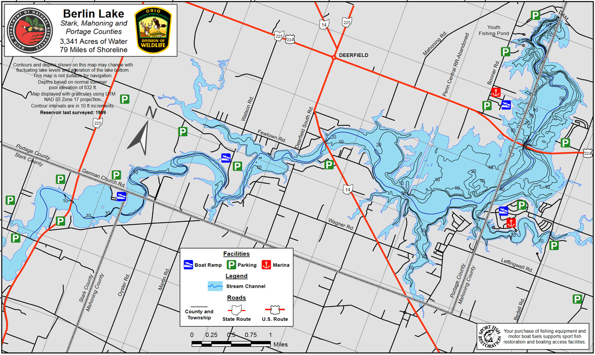
Berlin Lake map
Also, see all the hotspots at:
Berlin Lakes System Important Bird Area
About this Location
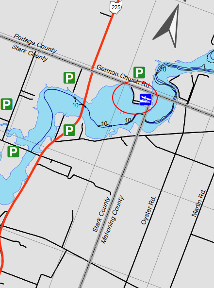
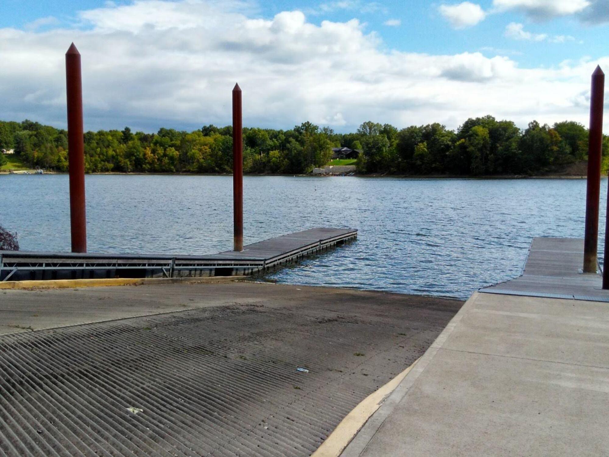
A two-lane concrete boat ramp at this hotspot provides access to the southwestern end of Berlin Lake. The parking lot has 95 spaces.
About Berlin Lake
See all hotspots at Berlin Lake
Berlin Lake spans three counties. The eastern portion is in Stark County, the middle portion is in Portage County, and the western portion is in Mahoning County. See the map for the county line boundaries.
Berlin Lake lies in the northeastern part of Ohio at the junction of Stark, Portage, and Mahoning counties. The lake is located on and is accessible from US-224 and OH-14 and OH-225. The U.S. Army Corps of Engineers constructed Berlin Lake in 1942 on the Mahoning River. The Congressionally authorized purposes were flood control, low flow augmentation, water quality control, and water supply. Berlin Lake has a mean depth of 23 feet with a maximum depth of 55 feet. Annual water level fluctuations can be as much as 20 feet. Mud, sand, and gravel make up most of the bottom composition. Rock ledges can be seen along the original river channel at low pool level.
Restroom facilities can be found at the headquarters building, the picnic area by the dam, and the Circle Restaurant in Deerfield.
Content from Ohio Ornithological Society and Susan Carpenter