Wayne National Forest--Paynes Wetland
Wayne National Forest--Paynes Wetland
Nelsonville, Ohio 45764
Wayne National Forest Wetlands brochureWayne National Forest website
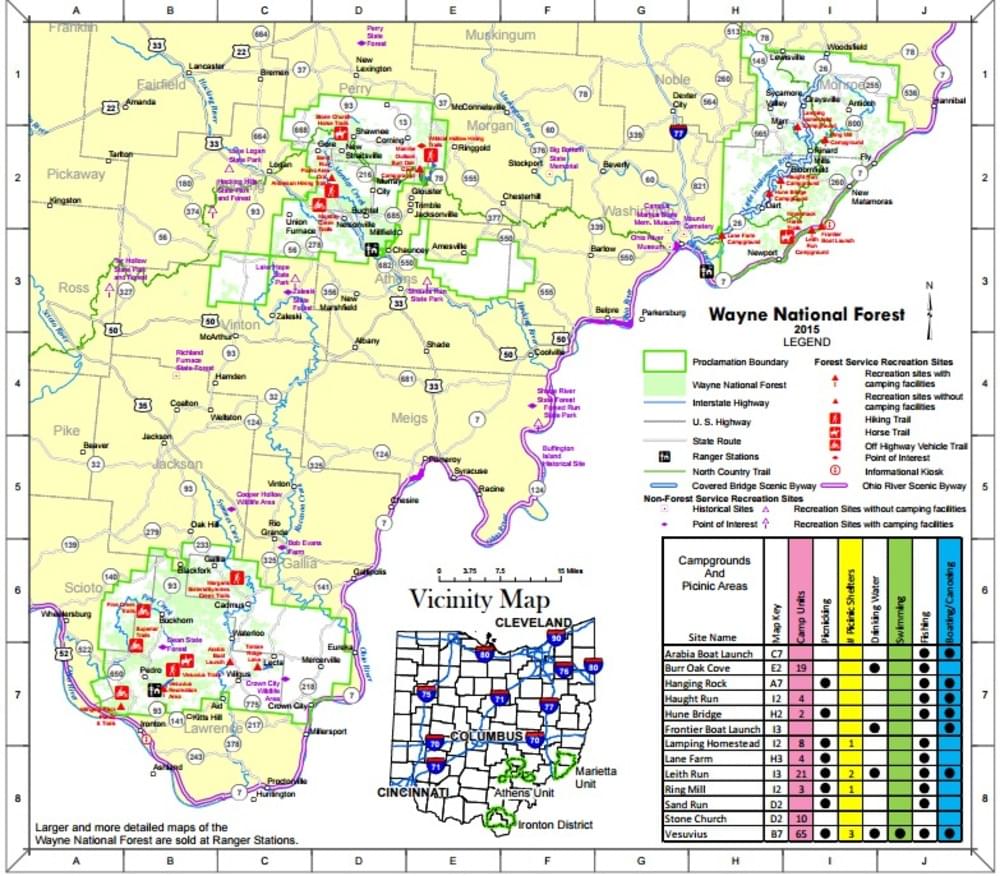
Wayne National Forest printable maps
Also, see all the hotspots at:
Wayne National Forest-Athens Important Bird Area
About this Location
Paynes Wetland is located west of OH-595 adjacent to Monday Creek. It’s not an easy location in terms of accessibility/ Park at the junction of Lost Run Road and OH-595, walk across OH-595 towards the oil and gas well, and find the trail to the right (north) of the oil and gas well. This trail is wet and muddy and follows an old railroad grade. After about .5 mile, the trail goes through a beautiful swamp with huge Pin Oak and Swamp White Oak trees. It’s an amazing place to see Wood Ducks in the spring, as they love Pin Oak acorns. The trail then bends around to the right (north), more or less running parallel to Monday Creek and dead ends into a large open wetland that is Payne’s Wetland. There is a Great Blue Heron rookery out there, beavers, and some very interesting history (Payne’s Crossing is just to the north). There isn’t really a trail around the wetland, so you have to bushwhack to get anywhere else but that’s fun, too.
About Wayne National Forest
See all hotspots at Wayne National Forest
The Wayne National Forest is located in the hills of southeastern Ohio. This small national forest, in the heart of the heavily populated Midwest, covers almost a quarter million acres of Appalachian foothills. The Wayne is divided into three blocks administered by two Ranger Districts at Athens and Ironton. A field office is also located east of Marietta.
Visitors to national forest lands are welcome to camp, hike, hunt, and fish. The Forest boundaries surround a checkerboard pattern of ownership, with public and private ownership interspersed. There are over 300 miles of trails in the Forest for hiking, all-terrain vehicle (ATV) riding, mountain biking, or horseback riding.
Content from Joe Brehm and Wayne National Forest website