Mount Misery
About this Location
Mount Misery is the largest conservation area in Lincoln, with 227 acres of agricultural fields, woods, hills, and ponds. Farm fields near Old Concord Road meet shady woods on top of the hill and descend to shrubby wetlands along the Sudbury River.
Mount Misery was privately owned until 1969 when the Town of Lincoln purchased the property and the neighboring Codman Estate. With this property conserved, Lincoln protected an important ecological corridor connecting Walden Pond and Adams Woods (to the north), Codman (to the east), and Great Meadows National Wildlife Refuge (to the south).
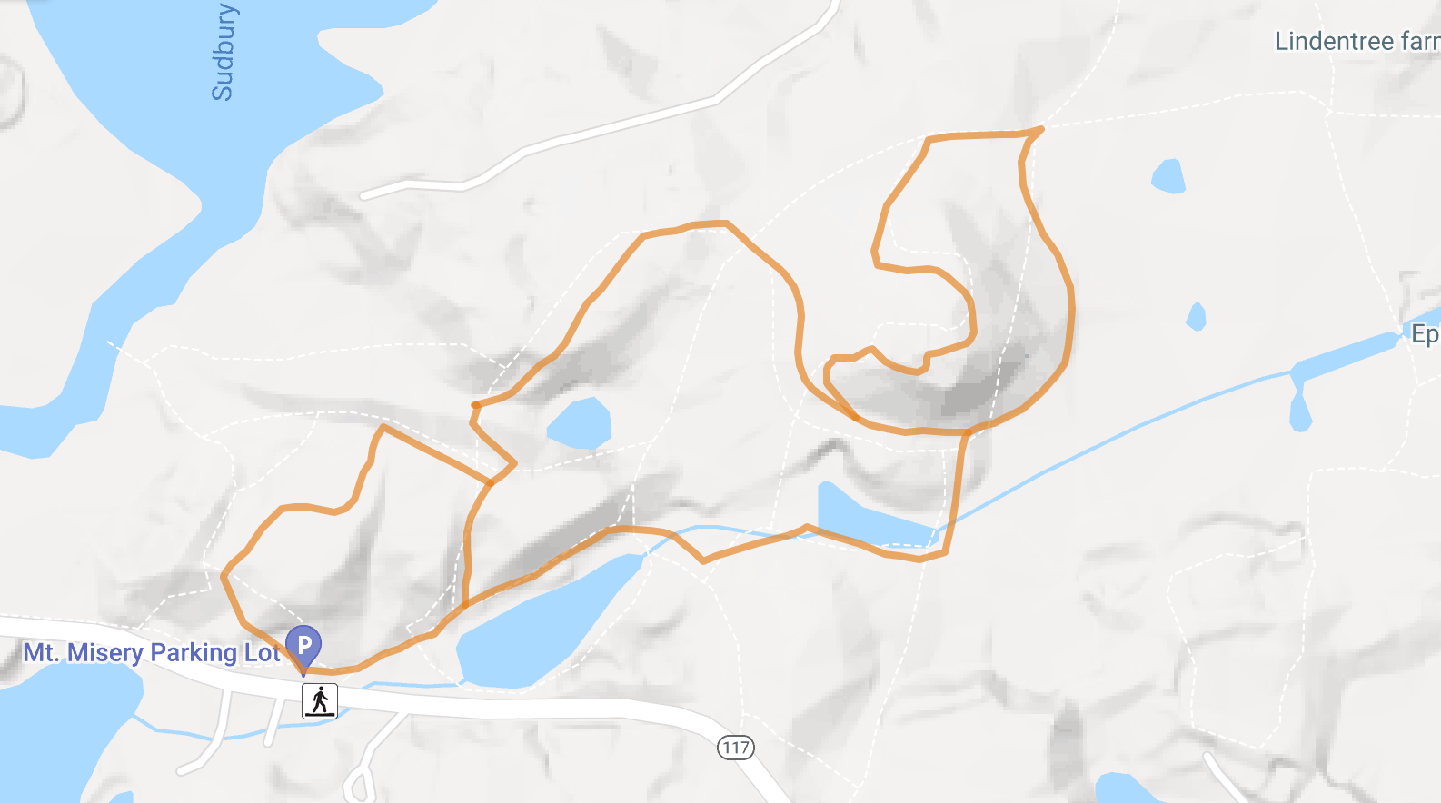
Park at the Mount Misery parking lot on MA-117. There is overflow parking at Canoe Landing, which is about half a mile east of the main lot on MA-117. This route takes you by the large pond and the Scotch Pines, European Larches, and White Pines planted by Charles Francis Adams. Continue by the old dam and sawmill site. Circle the Mount to the right and pass by the marsh and agricultural fields near Old Concord Road. Turn left to climb to the summit. Take the steep descent from the summit and turn right at the bottom of the Mount to walk by Terrapin Lake, a kettle hole that was used to cultivate cranberries until the early 1990s. Follow the main trail back to the parking lot. The route is approximately 2 miles with well-maintained trails. Elevation gain to the top of the Mount is approximately 100 feet.
The main parking lot is located along MA-117. The overflow parking lot is located at the Canoe Landing, which is 0.5 miles west of the main lot, near the Sudbury River Bridge.
Notable Trails
The AllTrails website has a description and map of a hike at Mount Misery.
Features
Restrooms on site
Wheelchair accessible trail
Entrance fee
Content from Mount Misery Trails webpage and map
Last updated January 6, 2024