Sachuest Pt. NWR--Salt Marsh
Sachuest Pt. NWR--Salt Marsh
Middletown, Rhode Island 02842
Official WebsiteSachuest Point National Wildlife Refuge map
Sachuest Point NWR Official Website
Sachuest Point National Wildlife Refuge map
Tips for Birding
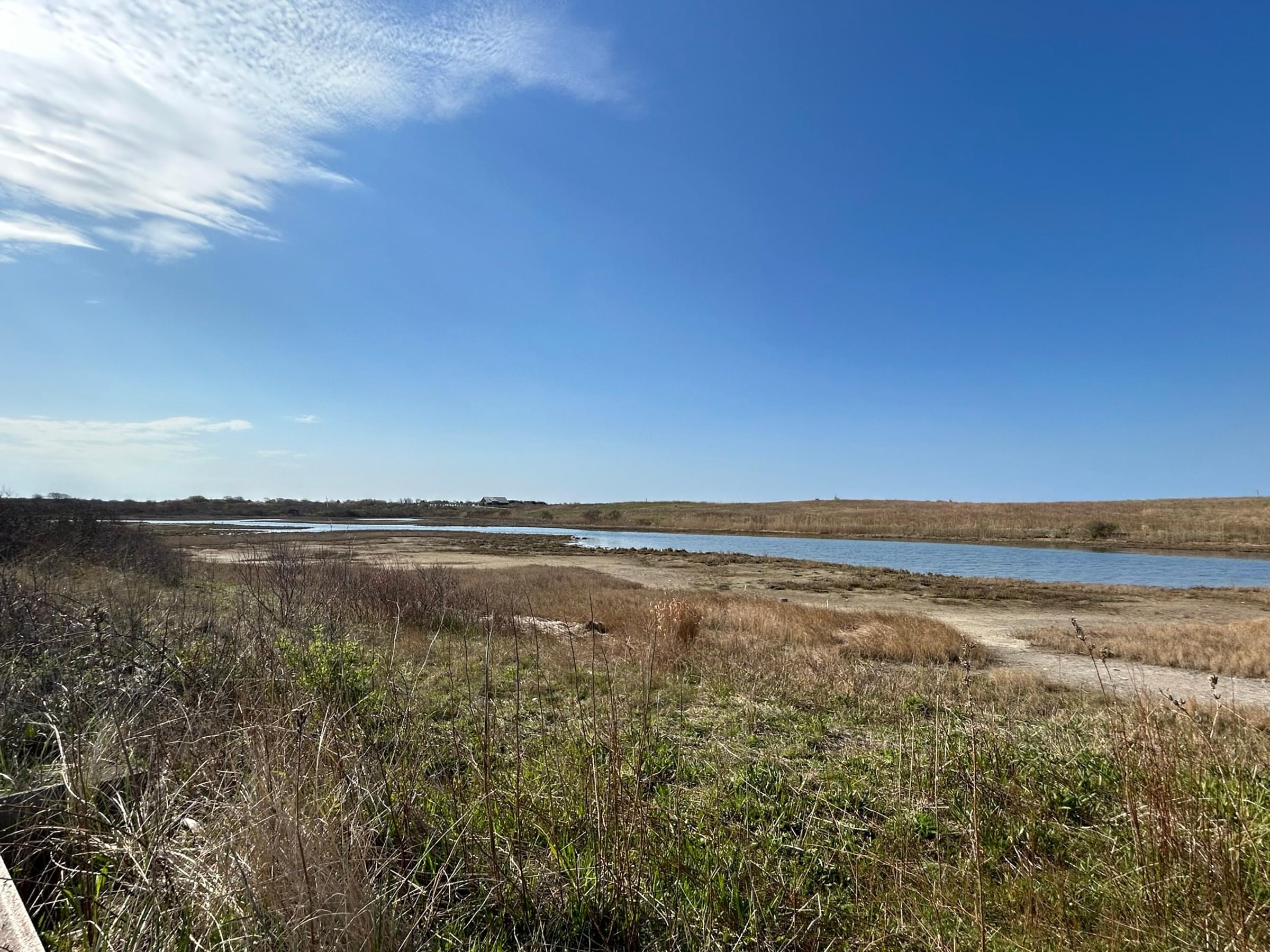
The salt marsh can be viewed from the third beach parking lot and is visible without having to leave your car.
About Sachuest Point NWR
See all hotspots at Sachuest Point NWR
This refuge is one of five national wildlife refuges in Rhode Island. About 200 million years ago, when the supercontinent Pangaea split, Africa left traces of itself along the shores of Sachuest Point creating the Price Neck Formation. From the mid-1600s to the early 1900s, Sachuest Point was used for farming and sheep grazing. During World War II, the U.S. Navy used this site for a rifle range and communications center. In 1970, a 70-acre donation from the Audubon Society of Rhode Island led to the establishment of Sachuest Point National Wildlife Refuge. Today, with the land transfers from the Navy, the Refuge totals 242 acres that provide an important stopover and wintering area for migratory birds.
Features
Roadside viewing
Content from Sachuest Point NWR Official Website, Noah Henkenius, Rhode Island Bird website, and New England Bird House blog
Last updated July 12, 2023