Nagog Hill Conservation Area
Nagog Hill Conservation Area
Acton, Massachusetts 01720
Official WebsiteNagog Hill Conservation Area map
About this Location
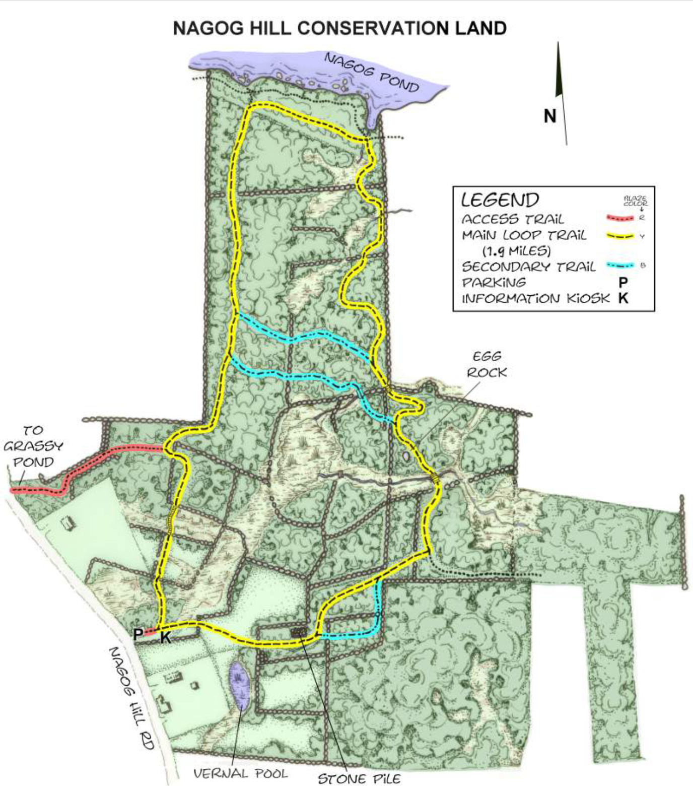
Nagog Hill and Grassy Pond Conservation Lands are contiguous properties, each with its self-contained trail system. Together the two properties contain 273 acres within which a more than 3-mile circuit can be made by using the 0.2-mile red connector between the two properties.
Nagog Hill Conservation Land, bounded on the north by Nagog Pond and on the west by Nagog Hill Road, is a predominantly wooded, hilly property with areas of wetlands in its central and southerly portions. Much of the property was once cleared farmland, as evidenced by the many stone walls that lace the land and the occasional field juniper, a shrub that sprouts only in the open, still growing in the woods. Further evidence of farm use is seen in a few old apple trees along the southern segment of the loop trail.
Notable Trails
The AllTrails website has a description and map of a hike at Nagog Hill Conservation Area.
Features
Restrooms on site
Wheelchair accessible trail
Entrance fee
Content from Official Website
Last updated January 6, 2024