Mazatal Wilderness
Mazatal Wilderness
Tonto National Forest Tonto Basin, Arizona 85553
Official WebsiteMazatal Wilderness North map
Mazatal Wilderness South map
Barnhart Trail #43 information page
About this Location
The Mazatzal Wilderness contains over 252,500 acres of the Tonto and Coconino national forests. Established in 1940 and expanded to its present size in 1984, its name is from an old Indian culture in Mexico, and is correctly pronounced “Mah-zaht-zahl,” meaning “land of the deer.”
The eastern side of this wilderness predominantly consists of brush or pine-covered mountains, sometimes broken by narrow, vertical-walled canyons. On its west side below the steep brush-covered foothills, the Verde River flows through the Sonoran Desert. This river was designated by the U.S Congress as Arizona’s only Wild River Area in 1984.
Elevations range from 2,060 feet along the Verde River to 7,903 feet on Mazatzal Peak. There is an extensive system of trails: their condition varies from very good to very poor. Several are unsuited for horses.
This hotspot is centered on the Barnhart Trail #43.
Content from Official Website
 Mazatal Wilderness North
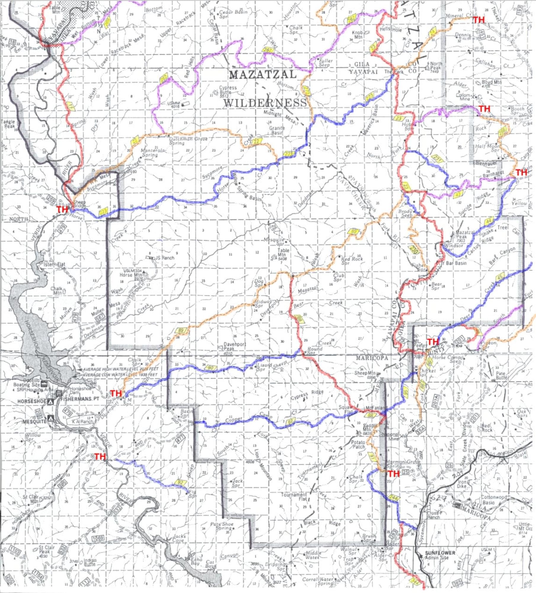 Mazatal Wilderness South