Sippo Valley Trail--Massilon
Sippo Valley Trail--Massilon
Massillon, Ohio 44647
Sippo Valley Trail Official WebsiteSippo Valley Trail (Rails to Trails of Wayne County) webpage
Sippo Valley Trail map (jpg)
Sippo Valley Trail map (pdf)
About this Location
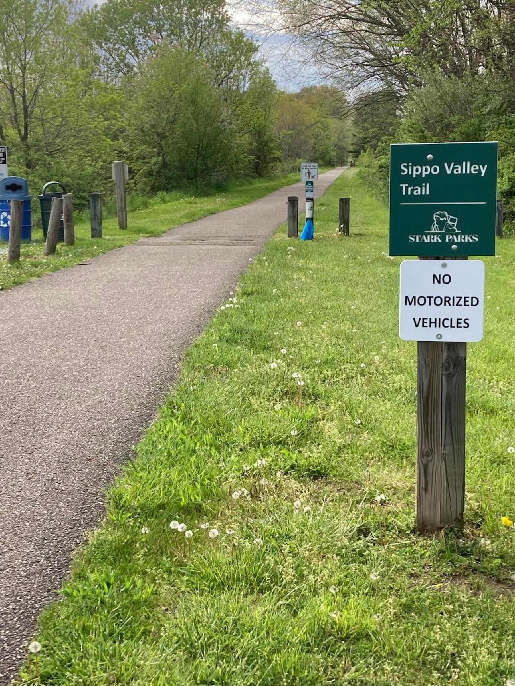
The Massillon trailhead can be reached by taking I-77 to Exit 104. Head west on US 30/US 62, and go 6.7 miles to OH 21/Great Lakes Blvd. Head north 2.6 miles on OH 21. Exit onto Lillian Gish Blvd., and in 0.1 mile turn left onto Lincoln Way W/OH 172. In 0.2 miles, take a right onto Sixth St. NW and go one block. Take the first left and head west on Water Ave. NW, which dead-ends at Bottoms Park. This is the closest parking to the east end of the trail.
From Sippo Valley Trail webpage
About Sippo Valley Trail
See all hotspots at Sippo Valley Trail
The Sippo Valley Trail runs nearly 10 miles, with flat, gentle grades, between Dalton and Massillon. It takes its name from Sippo Creek, which cascades along the side of the trail for nearly its entire length. There are numerous small bridge crossings, as well as 12 road crossings. All road crossings are well marked for both trail and road traffic and are easily navigated.
The rail trail begins in Dalton at Village Green Park, where open green space (bordered by ball fields and a playground) and trail amenities are plentiful. After leaving the trailhead you traverse fields, forests, and streams. Trail mileage markers, with the zero point originating in the eastern terminus at Massillon, are provided every .5 mile. The scenery is a beautiful mix of rolling farmland, forests, and small-town homes, starting with a close-up ride along the creek banks.
After the first road crossing leaving Dalton, the view opens onto the farm fields that dot the horizon. At mile 2.75 on the Wayne–Stark County line, you begin a 3-mile section of a crushed stone surface that makes up the trail’s midsection. The stone portion of the trail is in great condition, and in dry weather is easily passable. In wet conditions, the stone surface gets slick and may be difficult for road bikers and wheelchair users.
Pockets of the forest create pleasant shade along the trail corridor. The rural feel of the trail begins to change around mile 9 as you enter Massillon. The crossing at 17th Street brings you to a very steep descent on the east side of the road along the trail. The hill takes you down to Oak Ledges Park and its beautiful setting next to Sippo Creek. Two bridge crossings take you over the creek, and once you leave the park a short 0.75 mile remains on the trail.
Arriving at the trail’s end in Massillon, the Sippo Valley Trail links with the 70-plus mile Ohio and Erie Canalway Towpath Trail via a short jaunt on Lincoln Highway (OH-172). If time permits, venture onto the towpath for a scenic side trip. The formal trailhead is just 450 feet back the way you came on the south side of Bottoms Park.
The entirety of the Sippo Valley Trail from Massillon to Dalton is also a crucial component of the Ohio to Erie Trail. The planned 320-mile trail, of which over 240 miles are complete and open for use, will eventually span Ohio from the shores of Lake Erie in Cleveland to the Ohio River in Cincinnati.
Features
Restrooms on site
Content from Sippo Valley Trail Official Website
Last updated May 6, 2023
