Jalama Road--Hwy 1 to Jalama Saddle
Jalama Road--Hwy 1 to Jalama Saddle
Tips for Birding
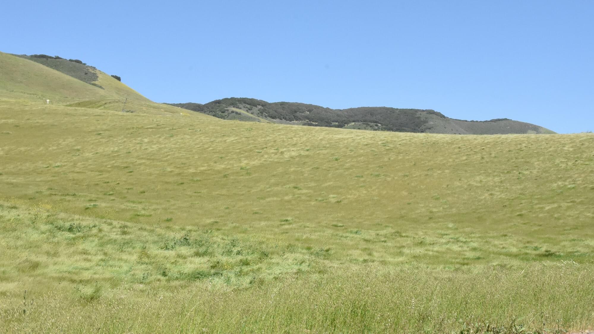
A very scenic road on the way to Jalama Beach, but a bit dangerous due to fast intermittent traffic. Most of the lower valleys are agricultural, but the willowed creeks, slopes, and hills are natural rangelands of mixed oak woods, brushy savannas, and grasslands. The upper stretch is forested (similar to Kinevan Road) but is not accessible. This hotspot is too long to do completely, so the best strategy is to pick one or two pullout stops and walk around those, and then add birds seen en route.
Birds of Interest
Salsipuedes Creek bridge area just off Hwy 1 is a good oak woodland and riparian area with permanent pools where Hooded Mergansers occur. The midpoint (the hotspot marker area) has several pullouts and is a good area to see raptors, including Golden Eagles, on the slopes to the North-east. Several cattle-feeding areas in this mid-stretch are good for blackbirds (Red-wings, Brewer's, Cowbirds and occasionally Tricolored and Yellow-headed). Western Bluebirds and Meadowlarks also occur. Wild Turkeys, Lewis's Woodpeckers, and Band-tailed Pigeons occur on the upper slopes.
About this Location
This hotspot stretches from Hwy 1 south to the highest point and watershed divide, the Jalama Saddle (34.5274, -120.3924), about 5.5 mi. This dividing point is shown in the map to the right. The road runs through the Salsipuedes drainage that flows into the Santa Ynez River. The area is entirely privately owned and dedicated to farming and cattle ranching. It offers a number of roadside pullouts, but no public access areas or services.
For the south slope of Jalama Road, use the hotspot Jalama Road--South slope only.
Notable Trails
All the roadsides are privately owned, so no trails.
Features
Roadside viewing
Restrooms on site
Content from Miguel Christie
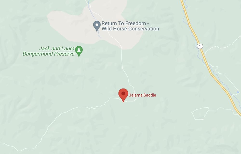 Jalama Saddle, the dividing point between the two Jalama Road hotspots
Linus Blomqvist