Symmes Creek--Waterloo Bottoms (Gallia Co.)
About Symmes Creek
See all hotspots at Symmes Creek
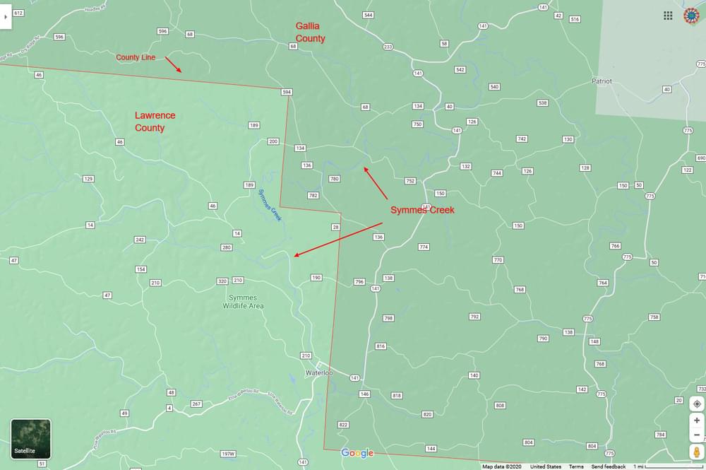
Symmes Creek is a 76.4-mile-long tributary of the Ohio River in southern Ohio in the United States. Via the Ohio River, it is part of the watershed of the Mississippi River, draining an area of 357 square miles on the unglaciated portion of the Allegheny Plateau.
Symmes Creek rises in Bloomfield Township in southeastern Jackson County and flows generally southward through Madison Township in Jackson County; Greenfield, Perry, and Walnut townships in Gallia County; and Symmes, Aid, Mason, Lawrence, Windsor, and Union townships in Lawrence County, through a portion of the Ironton Unit of the Wayne National Forest and past the communities of Waterloo, Aid, and Willow Wood. It joins the Ohio River at the village of Chesapeake, opposite downtown Huntington, West Virginia.
Features
Restrooms on site
Content from Wikipedia