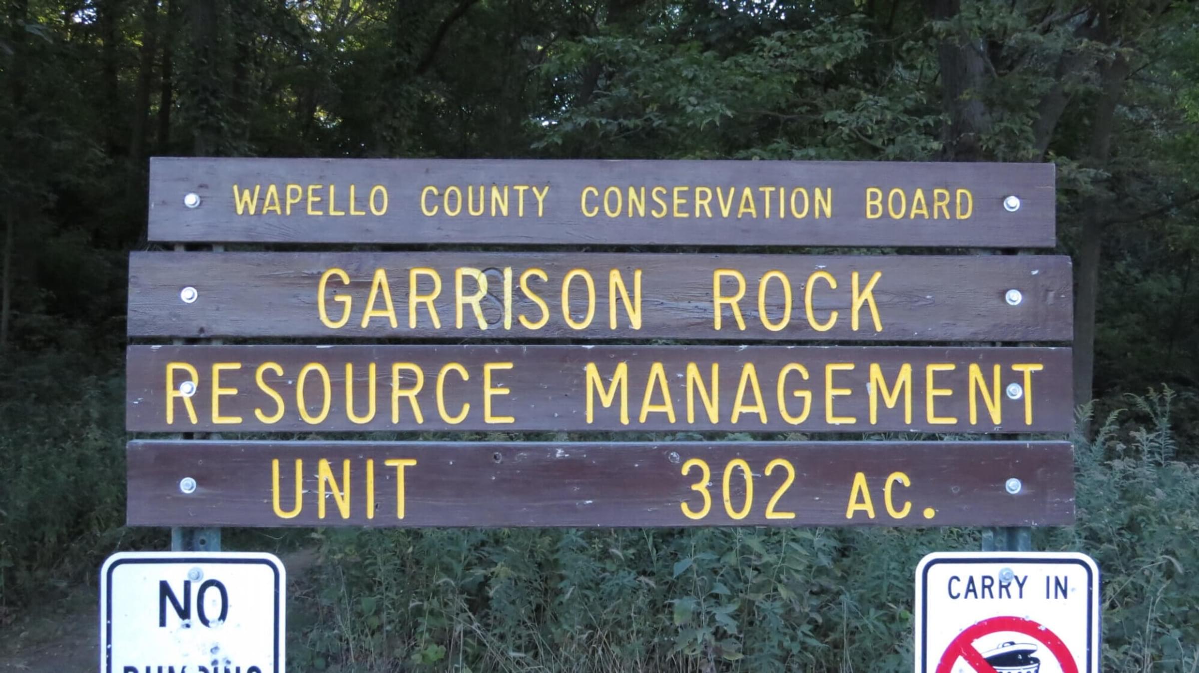
Garrison Rock Resource Management Unit
About this Location
Much of the open areas were farmed, grazed or hayed prior to WCCB’s ownership. Prairie restoration is underway on the balance of the open ground making it ideal turkey and deer habitat. Garrison Rock is actually a large sand stone out crop overlooking the Des Moines River valley. This area is very important historically being a Native American gathering site and one of the first places European settlers occupied in Wapello County. A Pioneer Cemetery occupies a bluff top overlooking the Des Moines River. Both Native Americans and early settlers used Horse Thief Cave for shelter, which collapsed over 50 years ago. During the early 1900’s, Garrison Rock was a must see site for all of the local townsfolk. Horse drawn buggies and sleighs would carry Ottumwa residents out to the area to picnic, hike and explore Horse Thief Cave. Garrison Rock is a high quality oak/hickory forest resource with excellent plant and animal diversity.
Features
Roadside viewing
Restrooms on site
Wheelchair accessible trail
Entrance fee
Content from Garrison Rock Resource Management Unit Website
Last updated July 4, 2023
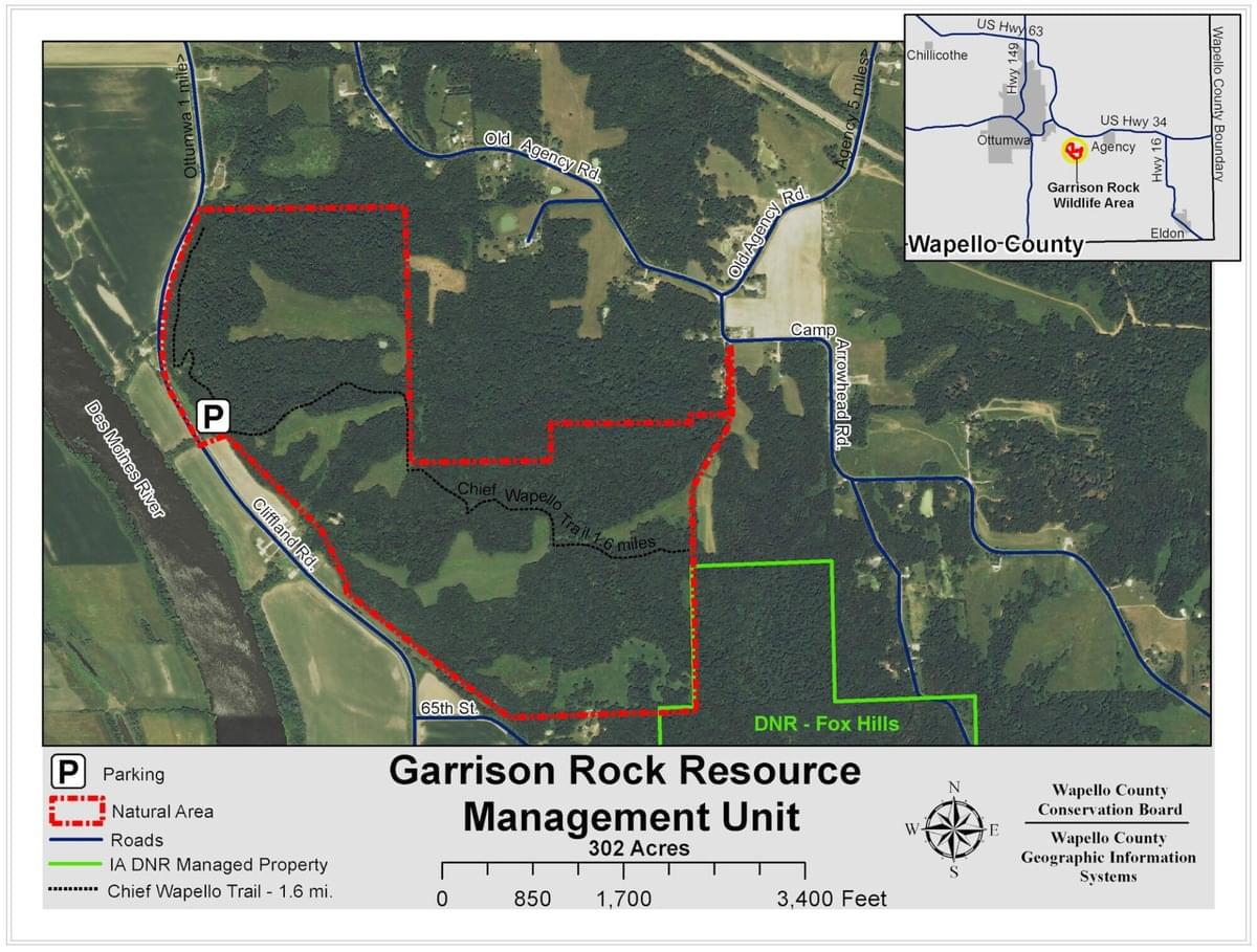 Garrison Rock Resource Management Unit Trail Map
Wapello County Conservation