Lake Loramie State Park
Lake Loramie State Park
4401 Fort Loramie Swanders Road Minster, Ohio 45865
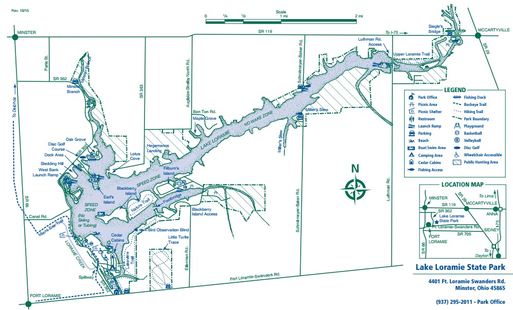
Official WebsiteLake Loramie State Park map
About this Location
Although difficult to imagine, Ohio at one time had more than two-thirds of its surface covered by massive sheets of ice as much as a mile thick in places. At least three great ice sheets invaded Ohio’s boundaries in the geologic past. The last one retreated 12,000 years ago.
These ice advances directly impacted the natural features now evident at Lake Loramie State Park. Materials deposited by the glaciers included clay, sand, gravel, and boulders of various sizes.
In the western half of Ohio where the land is generally level, these deposits resulted in some of the world’s richest soils. A great forest emerged after the glacial era, covering 95% of the state. In the vicinity of Lake Loramie, the vegetation consisted of mainly beech forests which thrived in the moist, fertile soils of the region.
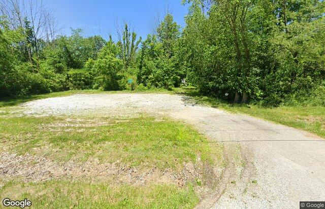
Today, little can be seen of that mighty forest because the development of the land for agriculture and other purposes has drastically altered the original vegetation. Small woodlots, grass plains, prairie, and farmland are typical of the area today.
The park’s campground supports a colony of the unique bald cypress tree as well as a plantation of sweet gum dating back to the early 1950s. Waterfowl, including Canada Geese, frequent the park along with various songbirds and small mammals. Wildflowers flourish in the forests and fields.
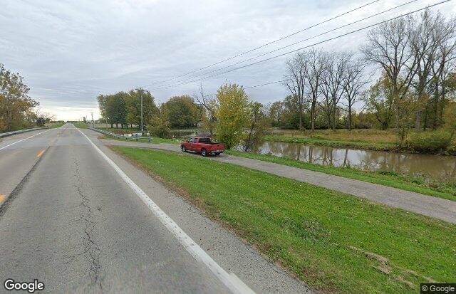
On the lake, waterlily, cattail, and a beautiful display of American lotus enhance the view. A trail leading to Blackberry Island will treat visitors to glimpses of nesting red-headed woodpeckers and barred owls. The park’s meadows support a large population of eastern bluebirds.
Notable Trails
Lake Loramie Trails
There are five hiking trails with more than 8 miles of trails:
Blackberry Island Trail – 1 mile – Easy
Lakeview Trail – 2 miles – Easy
Little Turtle Trace – 1 mile – Easy
Miami-Erie Trail – 1 mile – Easy (Part of Buckeye Trail)
Upper Loramie Trail – 2 miles – Easy
A portion of the Buckeye Trail – 2 miles – Moderate (part of Miami-Erie Trail inside the park)
A portion of the trail system follows the Miami-Erie Canal from the park to Delphos. This route is also a part of the Buckeye Trail and the North Country National Scenic Trail.
Fitness Trail: Five fitness stations have been installed at Earl’s Island along the paved walkway near the volleyball court and playground.
A description and map of a circuit hike on the Blackberry Island and Lakeview Trails is on the AllTrails website.
Features
Restrooms on site
Content from Official Website